OpenStreetMap logo OpenStreetMap

Alan's Diary

Recent diary entries

Should you rank all the candidates in the OSMF election?

Posted by Alan on 8 December 2019 in English. Last updated on 9 December 2019.

TL;DR: The answer is yes. You don’t have to rank all the candidates, but there’s no reason not to.

The OpenStreetMap Foundation (OSMF) is currently holding an election for four seats on their Board of Directors. This is the governing body for the global OpenStreetMap project, and ideally the Board will represent all the diverse perspectives and communities within the overall OpenStreetMap movement. Thankfully, the OSMF board uses the Single Transferable Vote (STV) method for its elections (also known as multi-winner Ranked Choice Voting), which is perhaps the most robust and flexible form of Proportional Representation, giving the voting public the chance to elect representatives that fairly reflect the diversity of their views, without requiring candidates to form political parties or requiring that the voting public be divided up into artificial geographic regions. I previously wrote a post explaining the benefits of STV for OSM elections here.

As someone who has administered several STV elections in the past (as the elections observer for the OSM-US board and as a co-founder of FairVote Washington) a lot of people ask me for advice about how to fill out their ballot. Not about who to vote for, but how to fill out their rankings so that the candidates they like have the best chance of winning. Specifically, they most often ask whether they should fill out all the rankings, or leave some candidates unranked. Imagine that there are 12 candidates running, and you like six of them and dislike the other six. Should you rank your top six in order and leave your other preferences blank? Or should you keep going and rank your disliked candidates from 7 down to 12, your absolute most disliked candidate?

See full entry

Location: City Center, Bellingham, Whatcom County, Washington, 98225, United States

Last month I gave a presentation at the North American Cartographic Information Society (NACIS) conference about getting Native Reservations to show up on OpenStreetMap.

I blogged about this previously: “It’s about time OpenStreetMap showed native lands on the map”. Now you can watch the video of my presentation on YouTube.

You can also follow along with the slides on SpeakerDeck.

Location: Downtown Tacoma, Tacoma, Pierce County, Washington, 98402, United States

OpenStreetMap US Board Election Results

Posted by Alan on 13 April 2019 in English.

[repost from the OpenStreetMapUS blog]

The OpenStreetMap US board elections for 2019 have completed! As an election observer, I was tasked with making sure the elections were impartial and not unduly influenced, and that the vote counting was done properly.

This was an unusual election in that we had two separate questions:

The first question was to fill the open seat vacated by Maggie Cawley, who resigned to take on the role of Executive Director. The second question was a simple confirmatory vote of approval for the remaining four board members. Given that there was no election held for the board back in March (because only five candidates were nominated for five open seats), the board decided it was appropriate to hold a confirmatory vote since we were already holding an election anyway for the open seat.

The results of the election are as follows:

The existing board members were confirmed overwhelmingly, with 98 voting “yes” and 6 voting “no”. In the final round of ranked choice voting Minh Nguyễn was elected to the open seat. Congratulations Minh!

Analysis

If you don’t care about the nerdy mechanics of this Ranked Choice Voting election, you can stop reading now. But if you’re interested in a deeper analysis of the results, read on:

For OpenStreetMap US elections, we use Ranked Choice Voting (RCV), which means that each voter has the opportunity to rank all the candidates in order of preference. When RCV is used to elect multiple seats at the same time, it’s also known as Single Transferable Vote (STV), and when it’s used to elect a single seat (as was the case in this election), it’s sometimes called Instant Runoff Voting (IRV).

See full entry

Aboriginal areas are finally on the map!

Posted by Alan on 17 March 2019 in English.

Late last year (around the Thanksgiving holiday in the United States) I wrote a blog post saying “It’s about time OpenStreetMap showed native lands on the map”. After that we had a few weeks of discussion and voting around the proposed tagging on the wiki (which is now approved as boundary=aboriginal_lands or synonymously boundary=protected_area + protect_class=24), and then a couple of months of refining the style proposal in the default OpenStreetMap stylesheet.

Now at long last, these features are starting to show up on the map. Here are a few examples:

See full entry

Why OpenStreetMap US elections should use Single Transferable Vote (STV)

Posted by Alan on 18 December 2016 in English. Last updated on 4 February 2020.

Today is the final day of the board elections for the US chapter of OpenStreetMap (OSM-US). Just a few days ago the international OpenStreetMap Foundation (OSMF) also held its elections. If you are a member of both groups, you may have noticed that the two organizations do their elections a bit differently. In OSM-US elections you just choose from a list of candidates, while in OSMF elections you rank the candidates in order of preference. What are these two systems, and which one is better? Well, I’m glad you asked…

The international OSM Foundation uses a system called Single Transferable Vote (STV). STV allows voters to rank candidates in order of preference, and produces a proportional result (meaning, for example, that 40% of the voters can choose 40% of the seats on the board). OSMF has been using STV in their last few elections, and Richard Weait wrote some detailed post-mortems of these recent elections, such as OSMF Board Election Results 2015, and the more descriptive OSMF Board Election Data 2014. He has more blog posts on STV here.

OSM-US currently uses a non-proportional Block Voting system (technically, “Plurality-at-large voting”) where each voter can choose five candidates, and the candidates with the most votes win. While this voting method is easier to implement, it requires the electorate to vote strategically, rather than expressing their true preferences. Also under this system, there is the potential that 51% of the electorate could choose all five seats on the board.

So which method is better?

STV performs better than Block Voting in a few key ways:

First, voters can express themselves more fully because they rank the candidates from their most favorite to their least favorite. Voters don’t have to make arbitrary binary choices of who’s in and who’s out.

See full entry

Location: City Center, Bellingham, Whatcom County, Washington, 98225, United States

What's up with the Rann of Kutch?

Posted by Alan on 3 June 2016 in English.

I started looking at the Rann of Kutch in India, and it doesn’t look very well mapped. I also can’t find any mentions of it on the wiki, or Googling for “Rann of Kutch” in conjunction with OpenStreetMap.

Christoph Hormann’s post is the only thing I can find: http://blog.imagico.de/new-images-for-mapping-in-osm/

Does anyone know if there’s been any previous discussion (perhaps on the talk-in list?) about how to tag it? Or does the local community prefer it this way?

Here’s what it looks like now: screen shot 2016-06-03 at 3 jun 1 20 37

See full entry

Location: India

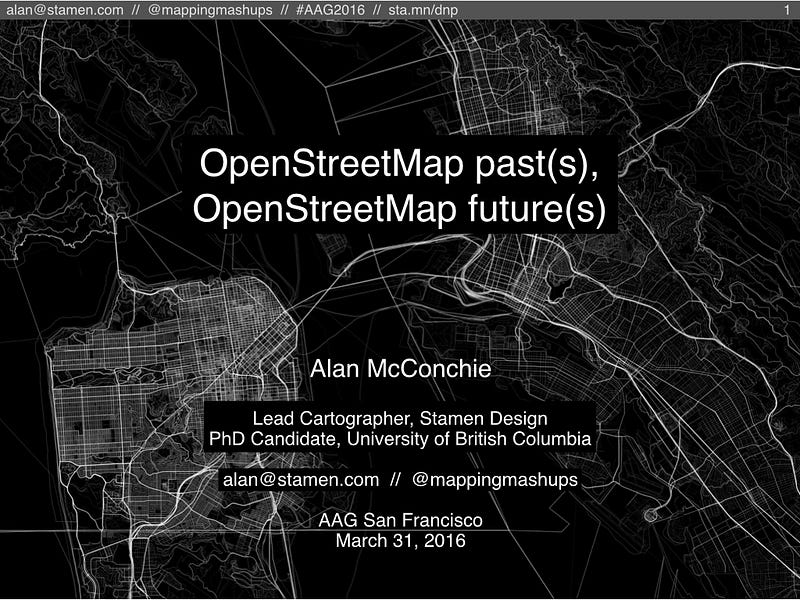
[Crossposted from hi.stamen.com and mappingmashups.net. Slides at http://sta.mn/dnp]

I gave a talk at AAG earlier this month, as part of a session about OpenStreetMap data analysis. I followed three presentations by some of my favorite OSM researchers, Sterling Quinn (@SterlingGIS), Indy Hurt (@IndyMapper), and Jennings Anderson (@JenningsatCU), all of them using OSM history data to see what it tells us about OSM’s past and its present. You can read more about their presentations in Diana Stinton’s article for Directions Magazine: “The simple map that became a global movement.”

See full entry

Location: Union Square, South of Market, San Francisco, California, 94104, United States

San Francisco data imports, anyone?

Posted by Alan on 7 July 2015 in English.

Thanks so much to the Mapbox Data Team who traced all the building footprints in San Francisco, California last year!

However, I think it’s time to start giving our buildings the next bit of love: addresses. I checked and found a stagnant import proposal from 2010. Maybe it’s time to reboot that? If you’re interested in importing addresses for San Francisco, join in the conversation on the San Francisco Address Import wiki page

The other thing that our buildings lack is height data. Perhaps we could import that too? I started a page for that discussion here: San Francisco Building Height Import. Feel free to let me know if that’s a terrible idea.

Location: Hayes Valley, San Francisco, California, 94102, United States