BCNorwich's Notes
Notes submitted or commented on by BCNorwich
| Id | Creator | Description | Created at | Last changed | |
|---|---|---|---|---|---|
| 1240262 | Borbus | Attlebridge RB3 has been blocked by the new dual carriageway. Further work may implement a diversion here to reconnect the PRoW. |
|||
| 2834250 | BSO Luke | Pier no longer exists. |
|||
| 2790365 | Robert Whittaker | I think this end section of the car park has been removed, and is currently a construction site for a new recycling centre. See https://www.norfolk.gov.uk/news/2021/03/construction-of-1-9m-norwich-south-recycling-centre-starts-next-week and https://twitter.com/NorfolkCC/status/1423645488205676554 . Ground survey or local knowledge required to update the map. #surveyme |
|||
| 2818116 | stretpalace | pos |
|||
| 2183902 | YaStratospheric | Could you check this place, there is feedback from the delivery driver, which shows that he could not drive. Maybe there is some kind of obstacle, access ban, or something else? |
|||
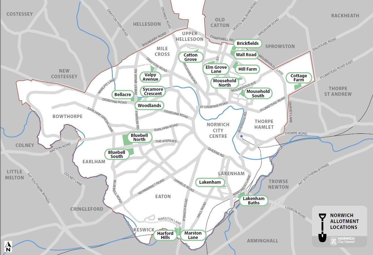
| 2798020 | Sam_White | These allotments are actually marked as two separate sites, Brickfields to the N, Wall Road to S.
|
|||
| 2801529 | Sam_White | This Barclay's branch has now closed. |
|||
| 2789489 | Tugman | Yesterday while planning a route in MRA I found that it would not cross the river but sent me via Chatteris.
|
|||
| 2789868 | I have since ridden through this location again and can now see that the point where the mapping app won’t pass is at the flood gate that can be closed across the road if the Great Ouse goes into flood.
|
||||
| 1293860 | Robert Whittaker | There should be a post office somewhere around here, but it's not currently mapped. |