CaptainCrunch's Notes
Notes submitted or commented on by CaptainCrunch
| Id | Creator | Description | Created at | Last changed | |
|---|---|---|---|---|---|
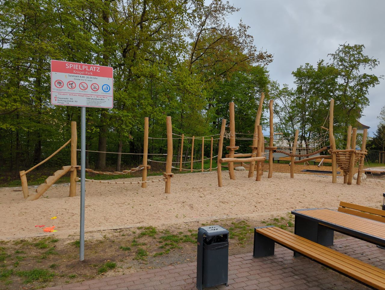
| 4206492 | sigrst | Spielplatz via StreetComplete 57.2 Attached photo(s):
|
|||
| 4578889 | Stephan Black | Unable to answer "What’s the height limit below the bridge?" – Minor/Unclassified Road – osm.org/way/179263597 via StreetComplete 60.0: Es gibt keine Brücke hier |
|||
| 4349814 | HolgerJeromin | Graspfad via StreetComplete 58.2 GPS Trace: osm.org/user/HolgerJeromin/traces/11409559 |
|||
| 3464560 | Geo-Tobi | Ist hier ein Spielplatz? |
|||
| 4584774 | Stephan Black | In context of overlay "Buildings" – osm.org/way/202376608 via StreetComplete 60.0: Polizei |
|||
| 4584815 | Stephan Black | Kreuzung mit Ampel via StreetComplete 60.0 |
|||
| 4211101 | Hier fehlt einFeldweg nach Schwabsroth. |
||||
| 4578003 | H2023f | Unable to answer "What’s the height limit below the bridge?" – Residenzstraße [B 13] (Primary Road) – osm.org/way/27253490 via StreetComplete 60.0: Kein Schild |
|||
| 4578358 | H2023f | Unable to answer "What’s the surface here?" – Path – osm.org/way/24020403 via StreetComplete 60.0: Symbol zig mal auf Asphalt gesetzt, kommt aber immer wieder. |
|||
| 4121352 | togamid | Das ist kein Gebäude, sondern nur ein Container via StreetComplete 56.1 |