Kugelbaum's Notes
Notes submitted or commented on by Kugelbaum
| Id | Creator | Description | Created at | Last changed | |
|---|---|---|---|---|---|
| 4513022 | Kugelbaum | In context of overlay "Surfaces" – Path – osm.org/way/448361732 via StreetComplete 58.2: No path up there Attached photo(s):
|
|||
| 4513023 | Kugelbaum | Blocked via StreetComplete 58.2 |
|||
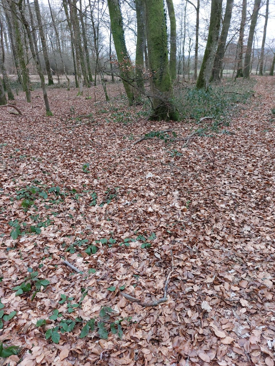
| 4513024 | Kugelbaum | In context of overlay "Surfaces" – Track / Land-Access Road – osm.org/way/840854855 via StreetComplete 58.2: Gone Attached photo(s):
|
|||
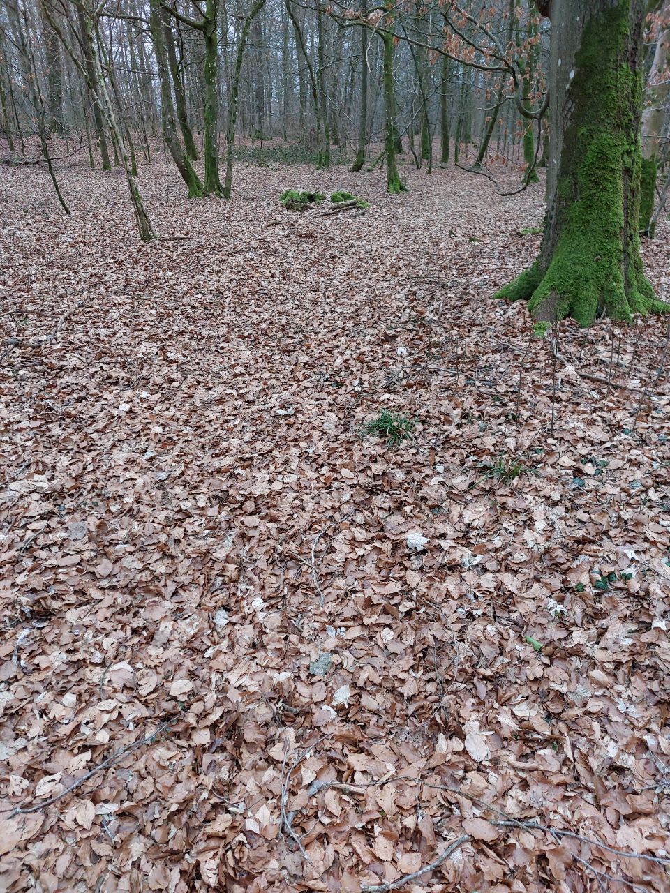
| 4513025 | Kugelbaum | In context of overlay "Surfaces" – Track / Land-Access Road – osm.org/way/669759024 via StreetComplete 58.2: Overgrown Attached photo(s):
|
|||
| 4445186 | Riri67 | Unable to answer "What are the opening hours here?" – Raposo – osm.org/node/2149813062 via StreetComplete 58.2: It's a private appartment |
|||
| 4437140 | BR-M | Private Property! Access prohibited. Private garden and agricultural property. |
|||
| 4453063 | loukote | The situation from this side of the building is as seen from the air, in the first level above the ground. Not at the ground level - there the building extends more to the East and the path is on its roof. The same applies to the entry to the swimming pool on the opposite side of the building. Should the situation be mapped from the ground level (easily determined in this case) or as seen from top? |
|||
| 4437150 | BR-M | Private Footway on a private property! No access for the public. |
|||
| 4064819 | Kugelbaum | No track on that side really. via StreetComplete 56.0 Attached photo(s):
|
|||
| 4064820 | Kugelbaum | Path, no tracks. via StreetComplete 56.0 Attached photo(s):
|