MapMakinMeyers's Comments
| Post | When | Comment |
|---|---|---|
| Too bad I don't have a camera rig | I’ve been doing this for the past five years! But I never made it a point to take routes I normally wouldn’t. Maybe that should change!! small snapshots: https://revolutionarygis.wordpress.com/2016/12/03/1781/ |
|
| Farmland data from Japanese Government | Is there a download page for these? Thanks!! |
|
| Bagyr and Yanbash | I wish I were there to help! This is beyond amazing work; thank you so much!!! Justin |
|
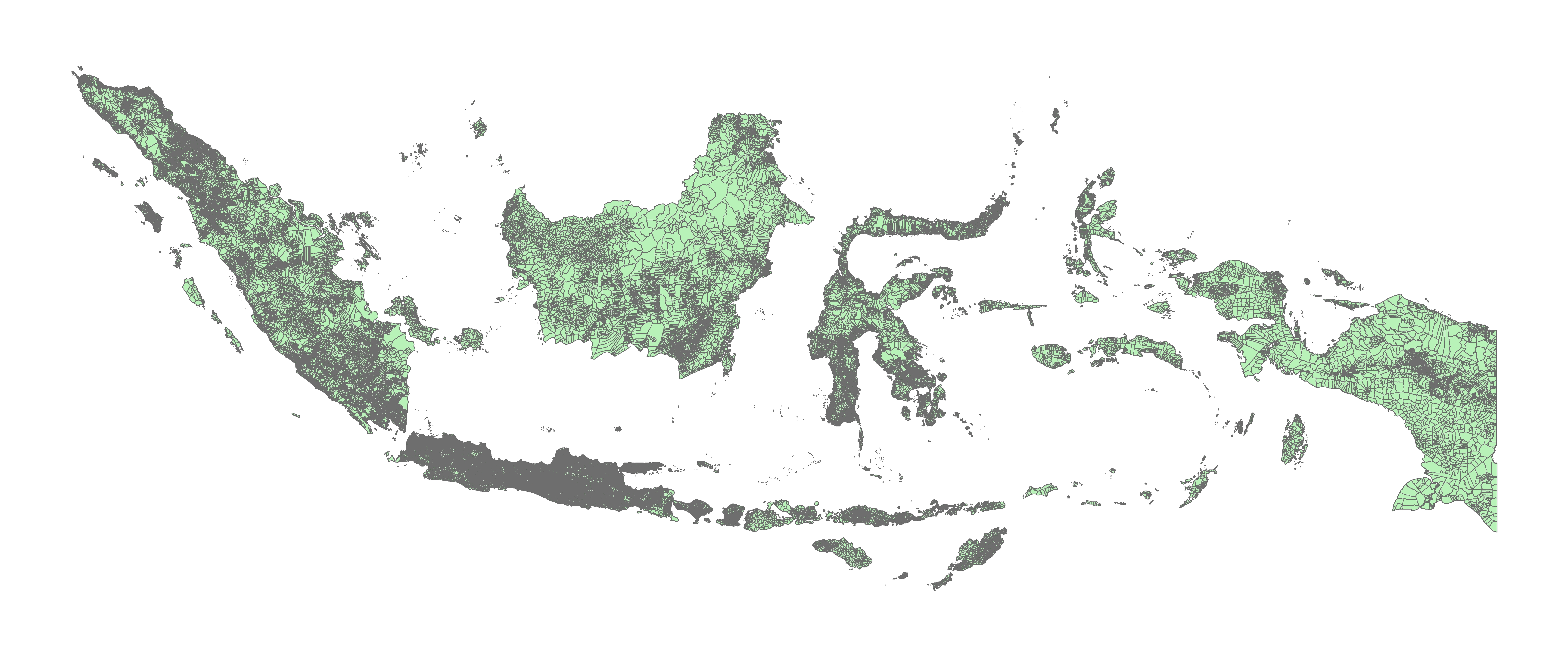
| Indonesian Political / Administrative Boundary | You can download the Desa boundaries. The difficult part is having them agree to us importing into OSM, and you have to get the larger OSM community to agree on the import (*which is just as difficult).
|
|
| OpenStreetMap 13th Anniversary Birthday party in Minsk, Belarus | This is Amazing! Cheers! |
|
| The OSM street network is more than 80% complete | where do you get the ~23% of the world’s roads are in the US figure from? I didn’t see a source for that figure in the paper? |
|
| The OSM street network is more than 80% complete | I map a lot of places in OSM. ( https://yosmhm.neis-one.org/?MapMakinMeyers) I think your numbers are way off (especially after looking at your first post, now your new number). Do either of you actively map in OSM? You would get a better feel for what is missing where and have a better grasp on completeness. Cheers |
|
| Iraq village cleanup | I downloaded a ton of NGA data when it somehow was released to the public if you would like that to help with such a project. There are a few other datasets that could help along the way too if you need resources |
|
| What should I do with my GPX files? | here’s the larger image: https://revolutionarygis.files.wordpress.com/2017/05/gpx_may.jpg |
|
| What should I do with my GPX files? | I use these: https://play.google.com/store/apps/details?id=com.eartoearoak.gpxlogger http://www.dnr.state.mn.us/mis/gis/tools/arcview/extensions/DNRGarmin/DNRGarmin.html create monthly backups |
|
| What should I do with my GPX files? | I’ve been doing this for over a year!
|
|
| High-resolution mapping of the Southern-most location in the Caribbean (Turbo, Antioquia, Colombia) | what can I do to help you? Thanks! Justin |
|
| Totalrevision der Verordnung über das eidgenössische Gebäude- und Wohnungsregister (VGWR) | Thanks! Do you know the person in charge of that project? Is there an updated list of sources/ sites as per the data? Cheers |
|
| Totalrevision der Verordnung über das eidgenössische Gebäude- und Wohnungsregister (VGWR) | @SimonPoole, is there open address point data for the entire nation? Thanks! |
|
| Philippines Admin 4 Shapefile Data!!!!!!!! | I am just sharing with the osm community - license/ metadata is in a txt file included with the data I work with admin boundaries globally every day. I have no plans for these - OSM people get all wild about imports, data, etc. So if it come to that, the larger community can discuss - I am just a data guy - If you need boundaries for any specific country let me know - I have tons of them ;) I just trace imagery… http://yosmhm.neis-one.org/?MapMakinMeyers Cheers, J |
|
| Making a multilingual map of India using OpenStreetMap data | do you have the raw data used for the names? and the wiki ids? |
|
| Belarus shapefile data | Yes, I just wanted to share ;) |
|
| All Municipalities in Nicaragua | do you have the raw shapefile data from the government? |
|
| Adding missing towns and villages in OSM | Jothirnadh, I will send you some updated nga locations and will shift them based on macthing village and urban area within settlement to help your team. I can send in a csv or shapefile format. I will do Karnataka as a poc for your team message me your email Today is thanksgiving in the US so I will be with friends and family, but will be working on this for you guys here and there. cheers |
|
| Community mapping in Cape Town | amazing work!! check out their open data here: http://web1.capetown.gov.za/web1/opendataportal/Default cheers!! Justin |