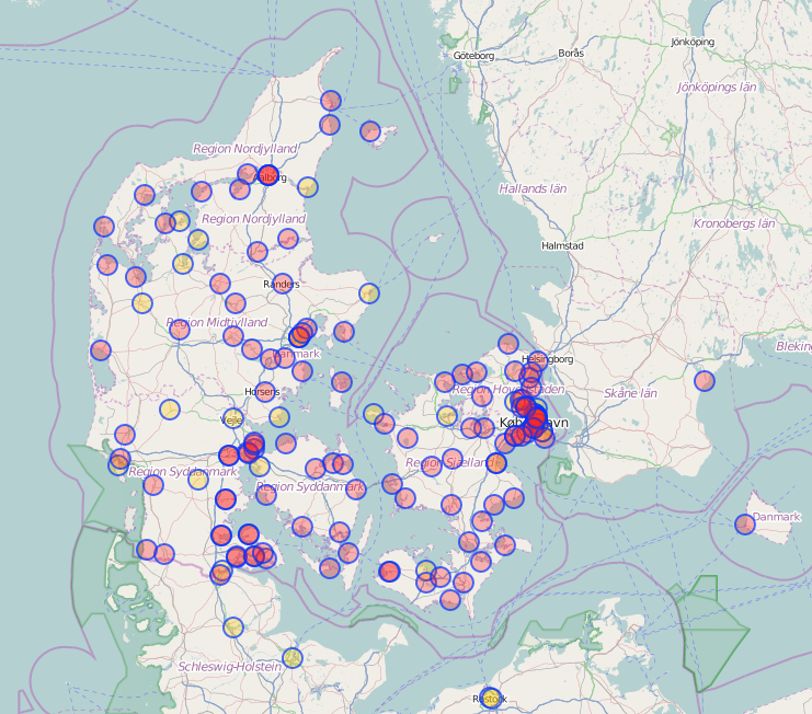
I have been checking all Danish motorway,trunk,primary,secondary, and tertiary roads without a maxspeed tag using geotagged photos (Mapillary, Kartaview, Bing). The maxspeed status now is (distances in km):
Maxspeed stats
- motorway :: missing maxspeed: 0 , total: 2586 , pct with maxspeed: 100.0
- trunk :: missing maxspeed: 0 , total: 502 , pct with maxspeed: 100.0
- primary :: missing maxspeed: 0 , total: 2771 , pct with maxspeed: 100.0
- secondary :: missing maxspeed: 10 , total: 6531 , pct with maxspeed: 99.85
- tertiary :: missing maxspeed: 5421 , total: 23739 , pct with maxspeed: 77.16
- unclassified :: missing maxspeed: 24821 , total: 32060 , pct with maxspeed: 22.58
- residential :: missing maxspeed: 20866 , total: 27987 , pct with maxspeed: 25.45
I believe this is really good. Most routing decision will have almost optimal data. Even if the first or last part of potential routes are short residential or unclassified ways with unknown maxspeeds, it will in most cases not affect the result because there are no alternatives.
Motor-vehicle users of OpenStreetMap apps will most of the time be on roads with known max-speeds. I know this because it is getting quite difficult for me to get to ways without maxspeed to produce geotagged photos. I download a GPX file with ways without maxspeed to OsmAnd so that I can try to photograph them if it not too much out of the way.
Quality
Of course having maxspeed tagged on many roads is only valuable if the tagging is correct. I did find some incorrectly tagged max-speeds. This was mainly due to:

