Ninjoh's Notes
Notes submitted or commented on by Ninjoh
| Id | Creator | Description | Created at | Last changed | |
|---|---|---|---|---|---|
| 2043727 | 3 nieuwe woning complexen |
||||
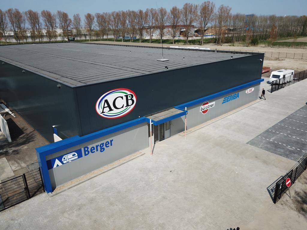
| 1971611 | Hier zit sinds april de nieuwe vestiging van het ACB op een grote kavel met veel bestrating: https://pbs.twimg.com/media/D7QfNPjX4AAJ_HV.jpg |
||||
| 2042951 | Nieuwbouw Hordijk aan de Daalderweg, zie BAG. Verzoek voor de toevoeging van BAG gegevens. https://zaanstad.nieuws.nl/bedrijvigheid/37487/hordijk-verpakkingen-breidt-uit-aan-de-daalderweg/ |
||||
| 2043906 | help |
||||
| 2042557 | Kingigi | Unable to answer "What surface does this path have here?" for osm.org/way/638018221 via StreetComplete 15.0: Ik betwijfel of dit een pad genoemd mag worden... Attached photo(s):
|
|||
| 2039106 | Pieter - Amsterdam | Pad is ontoegankelijk gemaakt, opgeheven.
|
|||
| 2042500 | Kingigi | Unable to answer "What surface does this piece of road have?" for osm.org/way/280986836 via StreetComplete 15.0: Dit is een houten bruggetje Attached photo(s):
|
|||
| 2030776 | onosm.org submitted note from a business:
|
||||
| 2039976 | Hotmanstraat |
||||
| 1764916 | Ninjoh | The seamark wreck node is not located in the middle of the exclusion zone, but on the very edge. this seems unlikely to be true. Is this correct? If not, which is correct, the exclusion zone or the wreck node? |