PlaneMad's Comments
| Changeset | When | Comment |
|---|---|---|
| 84168719 | about 5 years ago | Hi Amalu, fantastic work tracing all the waterway network, this is really useful for so many applications. Keep up the great work! |
| 67322527 | about 5 years ago | Hi Praveen, excellent work mapping Gollacherla village, it looks really beautiful. Have added some buildings and made some more improvements. Have a nice day! |
| 63841679 | about 5 years ago | Very nice to see your detailed mapping around Bayang. Have made some more improvements like add the village name. |
| 87512585 | about 5 years ago | Hi, many thanks for your wonderful contributions around Madurai. There are a few issues, particularly in this changeset:
Its easiest to use osm.wiki/JOSM/Plugins/Reverter to undo this changeset in a single click. let me know if you would like any help. |
| 85577405 | about 5 years ago | Done. Sounds like the best approach considering osm.wiki/Disputes#On_the_Ground_Rule |
| 73058770 | about 5 years ago | Hi Sundar, Phatehpur Sikri looks like a rather odd spelling. What is the reason to change that? |
| 87093593 | about 5 years ago | Hi, you seem to have added an incorrect placeholder name 'addme' for many places. There is no reason to do this since its possible to query unnamed places using overpass. Please remove these name tags. Let me know if you need help with it
|
| 81651413 | about 5 years ago | Thanks for all the Gujarat edits. What is the source for all these alphanumeric street names in Bhuj. Are these real street names or identifiers from some database? |
| 85574373 | about 5 years ago | Thanks for spotting, fixed. |
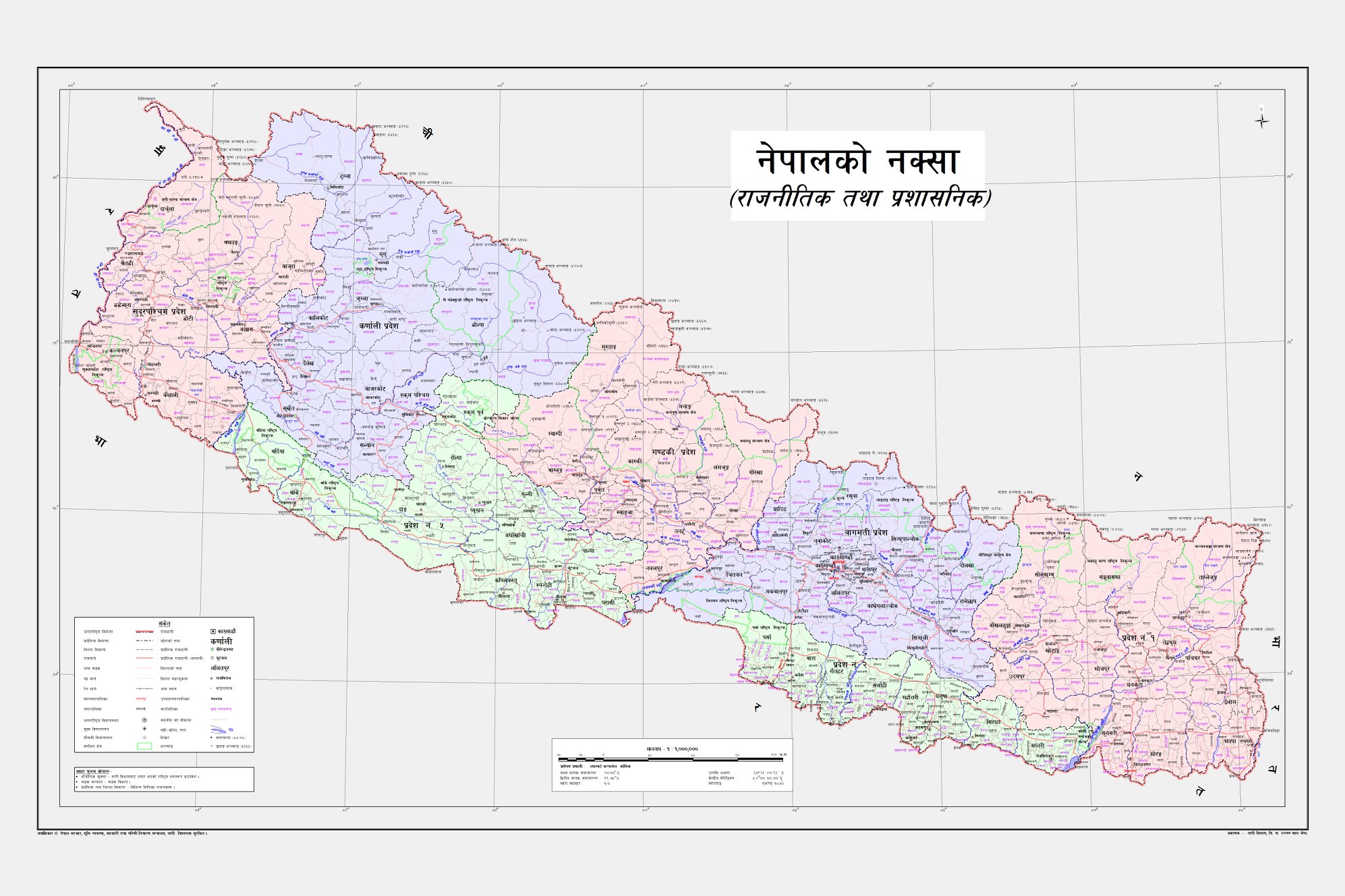
| 85523480 | about 5 years ago | Was updating Kalapani territory according to the new Nepal map https://assets-cdn.kathmandupost.com/uploads/source/news/2020/news/98353477_1682609495224206_5916763212010749952_o.jpg and noticed that the Kuthi Yankti river was renamed to Kali in this changeset. While doing some research it seems like there are multiple references that establishes the river is called Kuthi Yankt, especially since the hamlet Kuthi also lies herei:
It would be useful if you can share which part of Treaty of Sugauli claims this is the Kali River? |
| 85114623 | about 5 years ago | Made a few more fixes to revert the changes made osm.org/changeset/85574373 |
| 71613133 | over 5 years ago | Fantastic work with all the details. Map is looking beautiful! |
| 72338458 | over 5 years ago | Whoops, fixed! |
| 82794096 | over 5 years ago | Hi looks like you may have accidentally tagged whole of IIT campus to a park. Correcting it. |
| 62176225 | over 5 years ago | Hi, super work mapping Khorda! |
| 76992071 | almost 6 years ago | Its been over 24 hours with the boundary relations not have been updated consistently across levels. Have reverted the change for now osm.org/changeset/77083852
|
| 76992071 | almost 6 years ago | The tiles have still not updated to the changed data upto z12. After z13 you can see the tiles reflect the updates made in this changeset. Like you said, the data that was present was correct as per the OSMF guidelines on representing disputed territories, there was nothing to update unless there was some change on the ground regarding the control of the territory. |
| 76992071 | almost 6 years ago | This changeset changed the Kalapani disputed territory to be within the Nepal relation from the de-facto situation of being within the India relation as per https://en.wikipedia.org/wiki/Kalapani_territory The Nepalese claim line should exist just like the Indian claim lines on parts of Kashmir controlled by Pakistan and China osm.org/relation/4610574 There has been recent media focus on this dispute which could be causing more people to look into this disputed area from both countries. |
| 76992071 | almost 6 years ago | Hi Ro Sun, given that disputed boundaries are always an emotional issue between countries, i urge you to take a look at the OSMF policy regarding mapping these in a neutral way: https://wiki.osmfoundation.org/w/images/d/d8/DisputedTerritoriesInformation.pdf To my knowledge all sources indicate the territory is occupied by the ITBP since 1962. If you have any source of info that the area is under control of Nepal government, please document the link here, since a few more relations of subnational boundaries need updating as well. If you are looking to create render a map that follows official Nepal maps, you might have to generate your own tile like what was done for India: osm.org/user/azaadshatru/diary/390300 |
| 76832698 | almost 6 years ago | Thanks for adding the corridor but NH703AA is for the road starting from Kapurthala connecting Goindwal Sahib and terminating near Taran Taran http://ddnews.gov.in/national/nh-no-703aa-punjab-named-guru-nanak-dev-ji-marg-gadkari Making this correction to the road. |