OpenStreetMap logo OpenStreetMap

Sam Wilson's Diary

Recent diary entries

We had another great OSM meetup today in Perth (Western Australia). This time we were in Fremantle, where there’s lots of 19th century buildings that need address data and business information, as well as a fair bit of clearing up confusion about where one building ends and another starts. About eight people came.

We started in the café, fuelling up with coffees and pastries, and talking about how to map, what to map, and the general semantics of footpaths and roofs.

People sitting at an outdoor café table.

Then we wandered around for an hour and a half or so, splitting into two groups — one went down to the harbour and found lifebuoys, statues, and memorials to seafaring immigrants — the other attempted to add more detail to the University of Notre Dame’s campus, but actually ended up mostly working on addresses, businesses, and trying to make sense of building façades.

See full entry

Location: Fremantle, City of Fremantle, Western Australia, 6160, Australia

OSM meetup in Shenton Park

Posted by Sam Wilson on 23 June 2022 in English.

Better late than never — I thought it’d be good to report back on the OSM meetup we had in March this year in Shenton Park.

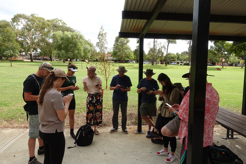
We had a great turnout, with about a dozen people, many of whom were new mappers. We met at Lake Jualbup, and spent an hour or so sorting out devices, new accounts, and discussion differences between mapping apps. Morning tea (and later, some of lunch) was most generously sponsored by OSGeo Oceania (the Australian OSM chapter).

People standing in a circle with phones.

The group took quite a while to amble around the park, mapping bins, dog poo bags, signs, and figuring out how to map an unmarked but obviously intentional path through a garden.

See full entry

Location: Shenton Park, City of Subiaco, Western Australia, 6008, Australia