Sam_White's Notes
Notes submitted or commented on by Sam_White
| Id | Creator | Description | Created at | Last changed | |
|---|---|---|---|---|---|
| 2095420 | onosm.org submitted note from a business:
|
||||
| 2746135 | onosm.org submitted note from a business:
|
||||
| 2183902 | YaStratospheric | Could you check this place, there is feedback from the delivery driver, which shows that he could not drive. Maybe there is some kind of obstacle, access ban, or something else? |
|||
| 1777755 | Robert Whittaker | FHRS data at https://gregrs.dev.openstreetmap.org/fhrs/district-123.html suggests there are some more shops to map along here, including a Co-op food store and a Well pharmacy. Ground survey needed. #surveyme |
|||
| 2687805 | Tristan Scott | Unable to answer "What surface does this path have here?" for osm.org/way/149612426 via StreetComplete 31.3: no path here |
|||
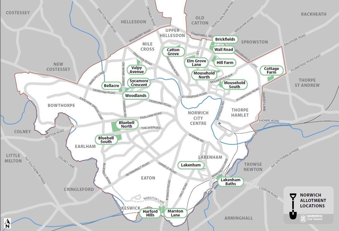
| 2798020 | Sam_White | These allotments are actually marked as two separate sites, Brickfields to the N, Wall Road to S.
|
|||
| 2801529 | Sam_White | This Barclay's branch has now closed. |
|||
| 2533213 | Genius Garage |
||||
| 1659772 | Robert Whittaker | Is there a Public Footpath alongside Aldi here, linking Sprowston Road to Anthony Drive? It should be the newly designated Norwich FP 6. See https://osm.mathmos.net/prow/progress/norfolk/norwich/norwich/ . |
|||
| 2522508 | Robert Whittaker | New Food Warehouse store somewhere around here according to https://www.eveningnews24.co.uk/news/iceland-food-warehouse-opening-in-norwich-1772436 . But where exactly is it? #surveyme |