bicyclett's Notes
Notes submitted or commented on by bicyclett
| Id | Creator | Description | Created at | Last changed | |
|---|---|---|---|---|---|
| 4240780 | bicyclett | Unable to answer "How are the footpath and bicycle path laid out here?" – Havelland-Radweg (Cycle Path) – osm.org/way/61189138 via StreetComplete 57.3: Fahrradstraße Attached photo(s):
|
|||
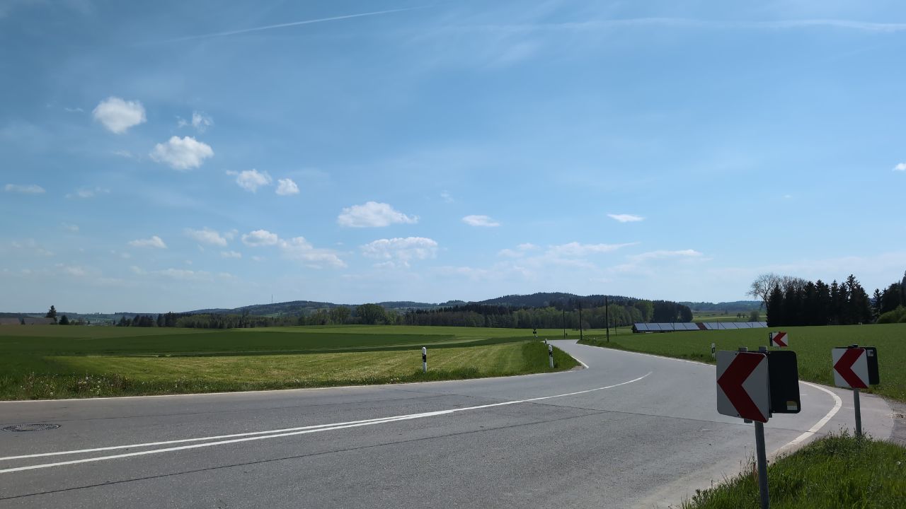
| 4224265 | bicyclett | Unable to answer "What’s this pole made of?" – Power Pole – osm.org/node/2316127521 via StreetComplete 57.3: diese Stromtrasse gibt es offenbar nicht mehr so. es gibt allerdings Masten in Richtung Gampenhof entlang der Straße Attached photo(s):
|
|||
| 4089338 | chris66 | Gibts diesen Weg noch? Ist auf aktuellen Luftbildern nicht mehr drauf. |
|||
| 4224228 | bicyclett | Brücke 2,5t via StreetComplete 57.3 Attached photo(s):
|
|||
| 4135448 | bicyclett | sehr seltsame Beschilderung
daraus folgend müsste es ein reiner Radweg sein, sicherlich war von amtlicher Seite nicht gemeint, dass Zufussgehende von dem Weg ausgeschlossen sein sollen. Wie sollte hier am besten gemapped werden? #atlas |
|||
| 4065102 | bicyclett | cycleway width is rather 1.5m than the given 1m.
|
|||
| 3231208 | bicyclett | barrier via StreetComplete 44.1 Attached photo(s):
|
|||
| 3135867 | bicyclett | no pass through.
via StreetComplete 42.0 |