Cygnus Field Report
Posted by mvexel on 20 January 2016 in English. Last updated on 25 January 2016.It has been a few weeks since I wrote about the public beta release of Cygnus, the Telenav conflation engine for OSM data. Since then, I have since been approached by a few folks who wanted to take it for a spin. One of them is long time OSM contributor MikeN. He is preparing an import for Holt and Atchison counties in the U.S. state of Missouri. We worked together on scaling some technical hurdles. Here’s a report of what we (well mostly he) did.
Source Data
Mike obtained the source data from Holt and Atchison counties from their official GIS:
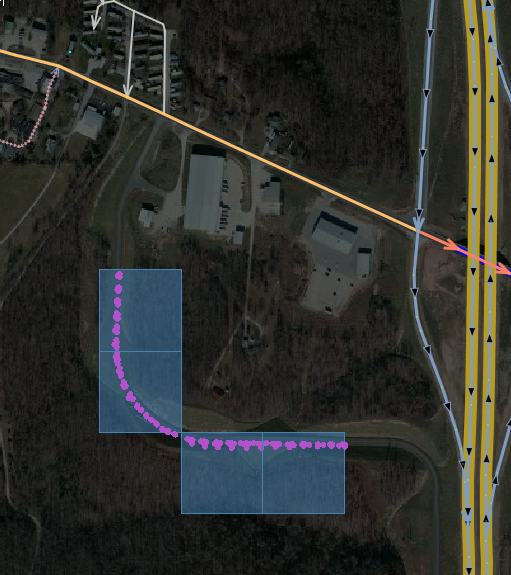
I obtained an updated road network from their official GIS, extracted and translated the tags, and followed up with a review against current aerials as well as checking for connectivity, glomming like road segments, and simplifying geometry. The final goal is to obtain permission to import, go through the import process steps, and merge new data onto the existing OSM data.
The next step was to convert the data into the OSM PBF format that Cygnus requires. This is when Mike got in touch with me to work through some technical difficulties:
Since Cygnus required the PBF format, I used Osmosis to convert. This failed because the nodes did not “have a version attribute as OSM 0.6 are required to have”. I have learned from Martijn that OsmConvert works without a version attribute, and was able to verify this on my second county.
The next catch was that PBF doesn’t accept negative node numbers. The simple workaround is to just use a text editor to remove the minus sign from
id='-andref='-. This seems a bit dangerous - would that file upload if accidentally selected? If so, many low numbered objects would be corrupted around the world. Hopefully, the conversion from OSM to PBF can be moved to the Cygnus chain so that it can accept zipped OSM since most users will start with .OSM data.