rskedgell's Notes
Notes submitted or commented on by rskedgell
| Id | Creator | Description | Created at | Last changed | |
|---|---|---|---|---|---|
| 4399953 | rskedgell | Water fountain/bottle refill here, according to https://diamondgeezer.blogspot.com/2024/08/the-refillable-water-bottle-tube-map.html |
|||
| 752977 | Rough area (will need revising) for the Craylands Clinic, full address: Craylands Clinic
|
||||
| 4236983 | user_4942 | this bridge seems to have been moved to completely the wrong place at one end, but I don't know where exactly it should be to put it back |
|||
| 3966001 | rskedgell | Are the public footbridge and the platform footbridge connected - is there a gate allowing access when the ticket office is closed? Are there any signs which state that cycling is explicitly allowed or prohibited on the footbridge? |
|||
| 3633887 | rskedgell | Unable to answer "This shop has been vacant. What’s here now?" for osm.org/node/4701717272 via StreetComplete 52.0: Closed, forecourt now a car park Attached photo(s):
|
|||
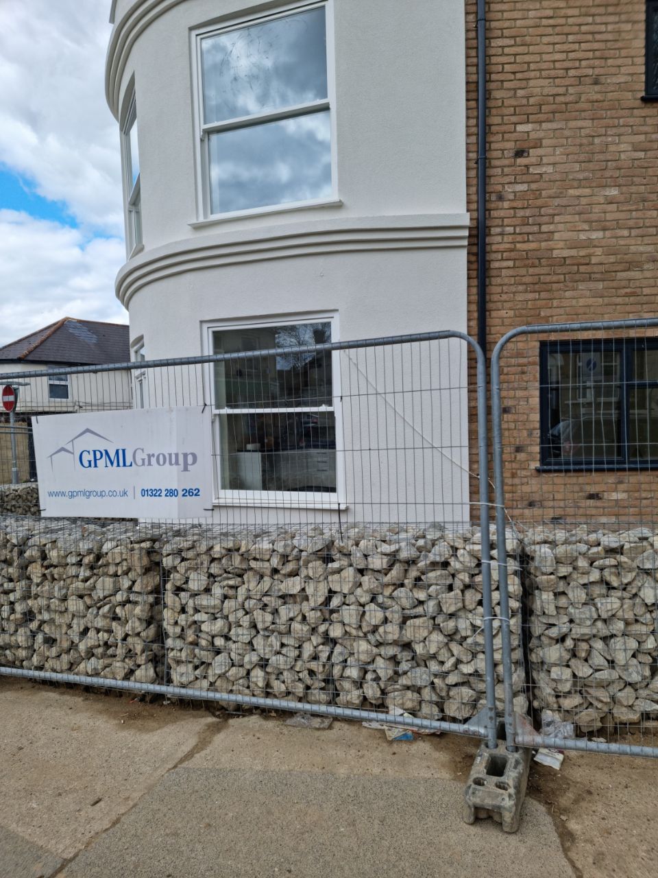
| 4646251 | rskedgell | Construction site via StreetComplete_ee 60.1 Attached photo(s):
|
|||
| 4494860 | rskedgell | Missing footway via StreetComplete_ee 59.2 Attached photo(s):
GPS Trace: osm.org/user/rskedgell/traces/11490434 |
|||
| 4544785 | rskedgell | Is there really a two-way residential road called "Bus Lane" here, physically segregated from Chatham Hill and with permissive access only for motor vehicles and all other modes prohibited? (Hint: of course there isn't) |
|||
| 3664209 | paulbiv | Unable to answer "What are the opening hours here?" for osm.org/node/1193541589 via StreetComplete 52.0: Construction Attached photo(s):
|
|||
| 4644134 | rskedgell | Does Church Path extend to connect with Khyber Road or Mill Road? #surveyme |