its been 4 days i see this lines like exploded roads … when zooming map location , i tried showing amusement park when editing , it also showed exploded road lines hope ( OSM Servers ) Are fine , and its necessary for a company to do monthly backup for all data
take a look at picture:
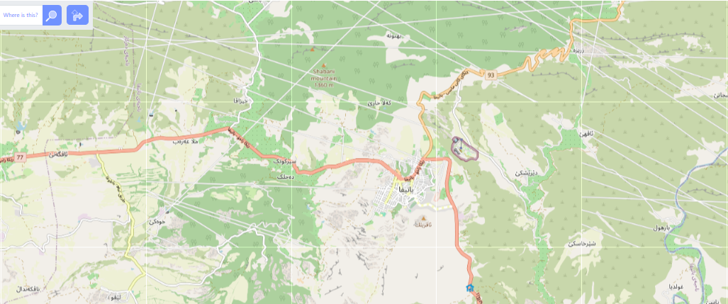


.jpg)


 This figure illustrates the process of capturing street-level imagery using