
I’ll start this by saying I wish I had started keeping track of this from the start. I have already done some work on this personal project.
Project Introduction
Back in December of last year, I decided that I wanted to start mapping in my hometown of Gqeberha (Port Elizabeth). There were a lot of buildings missing, and I have personally experienced what it is like to not have an up-to-date map.
Since December, I have been working my way through, adding buildings in admittedly too much detail. Having grown up in the area, I had a little more knowledge of the area than just the aerial imagery could provide.
Mapping Progress
I find (and still do) it therapeutic to sit at my PC and add buildings in OSM, especially once I started using JOSM. The progress was going well, and I could really see the difference; I just wish I had taken some screenshots before starting.
There have been times when it has been really mundane, to help with this I broke down my project even further. I would focus on one area and add in as much of the missing detail as I could. I’ve done this a few times now - in between mapping of buildings - and it has really helped break up the project.
Going Forward
I think there are two main things that I want to change going forward.
-
Taking more screenshots before I start mapping a new area. Seeing the before and after has been a real motivator.
-
Writing more long-form progress updates. This is my first diary update about the project, and the handful of Mastodon toots have not really done it any justice. Making this public also exposes my work to a potentially greater audience, which has the benefit of me learning and improving much quicker.
Gallery: Before & After
Before: Walmer Golf Club - A lot of details missing and information that can be improved.


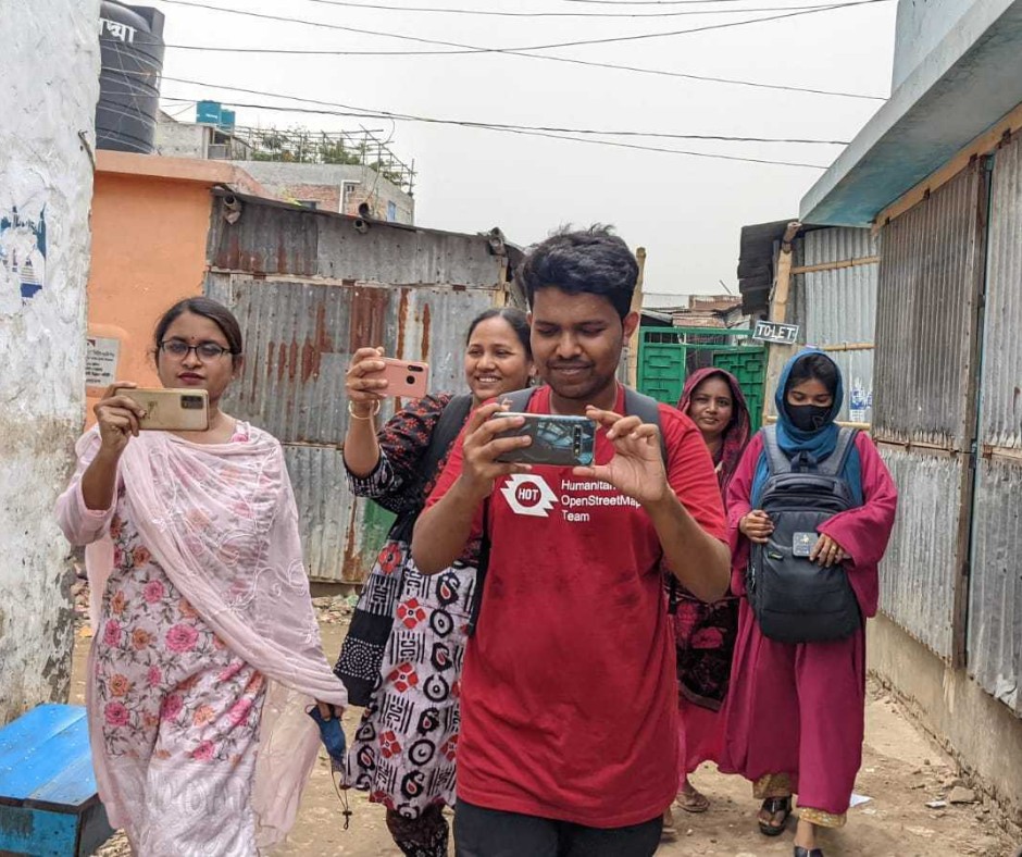 Open Mapping Guru, Brazil Singh in a field visit and data collection in Mirpur and Duaripara, Dhaka.
 ## Why This Matters
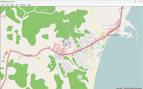 Figure 1: Cap-aux-Meules, before starting the project—Historical OSM data as of June 30, 2023, on Maperitive.

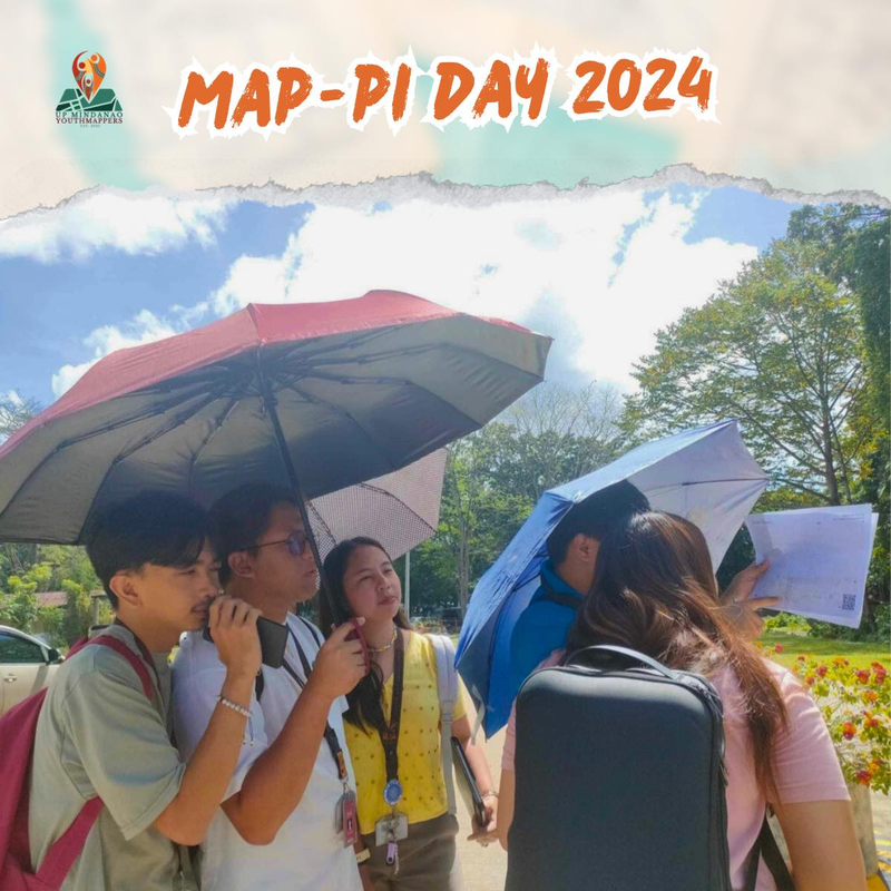 Participants shaded by umbrellas, to protect them from the sun, while collecting fresh geodata with FieldPapers. UP Mindanao Campus, Davao City. Photo shared by UPMinYouthMappers in their SNS