Hello,
I’ve been working on a GPS track visualization and processing tool - GPSMash - for a while and today I just completed the first release suitable for public use (most bugs fixed, enough functionality, good documentation). This is a command-line Windows application that can repair broken GPX files, clean-up, organize, and analyze data, convert to various formats for visualization, etc.
Here is a sample video using data processed with GPSMash:
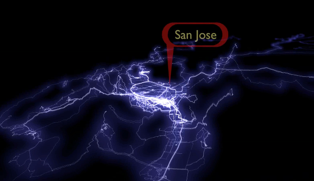
Click to play video: http://youtu.be/hAvHgBFEOAc
If you are interested, you can download it from my site:
Any feedback is welcome.
Regards,
Alex
讨论
RM87 于 2013年06月16日 20:08 的评论
It is unable to process gpx files made by garmin dakota 20.
Alexander Avtanski 于 2013年06月16日 22:13 的评论
RM87: Thanks for the information. I’ve tested it only with GPS data from my GPS device and from a friend’s, so this kind of information is exactly what I am looking for.
Can you send me a sample GPX? If you can e-mail it to me at avtanski at gmail dot com, I would be very grateful - with some luck I’ll be able to fix it immediately.
Regards,