Bexhill-OSM's Comments
| Changeset | When | Comment |
|---|---|---|
| 54933572 | over 7 years ago | I made a mistake with the tagging on this. I'd accidentally set this building to a house when it was a garage. Fixed now, thanks! |
| 53882597 | over 7 years ago | Hey there, I think it may be better practice to use the 'width' key rather than the 'lanes' key for narrow lanes- osm.wiki/Key:lanes#Narrow_roads
|
| 53164508 | almost 8 years ago | Hi Mike, yes it's been an invaluable asset to finding paths around my neighbourhood to survey. They also supply a wms overlay (https://data.gov.uk/dataset/rights-of-way-not-definitive-for-east-sussex) which works great with josm.
|
| 53164508 | almost 8 years ago | Mike,
|
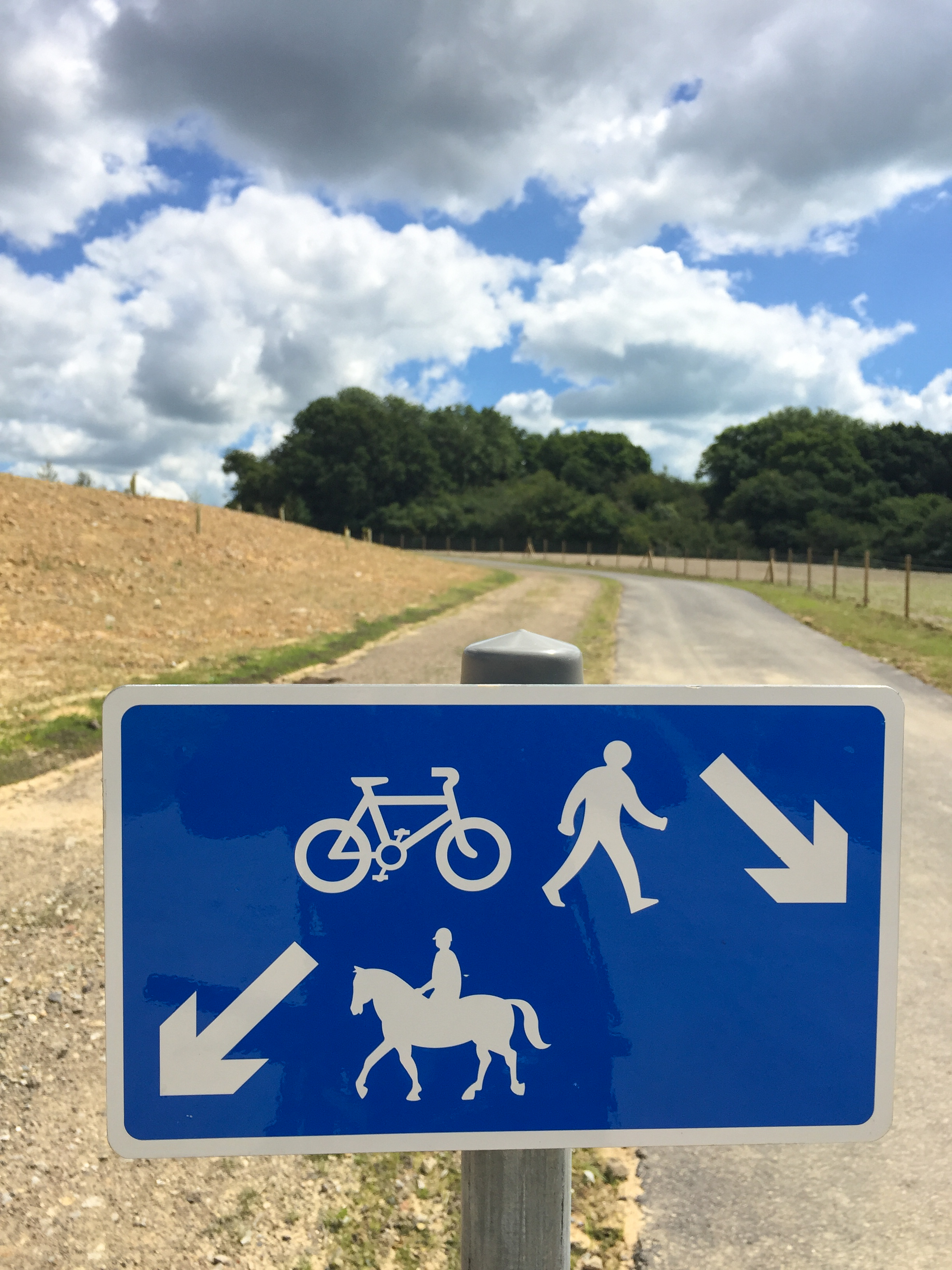
| 53164508 | almost 8 years ago | Hi Mike, yes foot and bike traffic is split with horses at this point with a sign similar to this (http://news.eastsussex.gov.uk/wp-content/uploads/sites/4/2016/07/Greenways-2.jpg).
|
| 52032658 | almost 8 years ago | Do you need help with editing? This church does not exist. |
| 51674720 | almost 8 years ago | Heh, just noticed your fixme tag on one of my post-box edits. Yes - 7pm certainly isn't right, thanks for the heads up :) |
| 51265073 | almost 8 years ago | This is already mapped. Maps.Me should show it with the latest map update. |
| 46876018 | over 8 years ago | Thanks, I wasn't aware of _link tags. I'll start using them. |
| 45568592 | over 8 years ago | Sorry, we just had an influx of new users placing parks in random areas.
|
| 45568592 | over 8 years ago | Just out of interest, are you mapping for Pokemon Go? There is no park behind the hospital, nor a public footpath. Although, the hospital grounds were slightly off - so I have expanded them and the grass area within. |
| 45455075 | over 8 years ago | I respect your honesty. Just be aware that by adding misinformation to OSM, you're not just manipulating Pokemon Go, but affecting all the other projects that use the data here. |
| 45455075 | over 8 years ago | Just an update: I've removed the path, feel free to add back a fence or wall if it exists.
|
| 45455075 | over 8 years ago | Hi Dave and welcome to OpenStreetMap, thanks for taking time to contribute :) I see you've drawn a highway=footway around this group home, perhaps you meant to put a barrier=fence/wall? Good luck with your learning and let me know if you need any help with mapping.
|
| 44963942 | over 8 years ago | Yep that was me, I fixed it not long ago, then saw this changeset and got very confused. Thanks for reverting. |
| 43730921 | over 8 years ago | I've removed the node and added the postcode to the apartment building |
| 37454308 | over 9 years ago | Ah, I see I missed setting the country code for other phone tags. I've also added ref:edubase to the rest of the schools in the area. Cheers. |
| 37252158 | over 9 years ago | According to this PDF London Road is still the A269: https://eastsussexgovuk.blob.core.windows.net/media/2462/bhlr_map_link_rd_and_a259_3a_3.pdf Although, I don't see the need for it being an A road personally. It may change in the future. |
| 9278244 | over 9 years ago | Ah, thank you. Doesn't really clear things up, but I'll make sure to keep to the direction of the Wiki. |
| 9278244 | over 9 years ago | Mini roundabout direction in this country is "clockwise" by default, useless direction tag? |