State of the map Asia - 2017 and talk on multilingual maps of the world!
โพสต์โดย BharataHS เมื่อ 22 กันยายน 2017 ในภาษา EnglishExcited to be attending and presenting at the State of the Asia - 2017 conference for the first time at Nepal. I will be talking on Sunday (24th September) about how we are building multilingual map of the world by linking OpenStreetMap with Wikidata - an amazing open data project by Wikimedia foundation. If you are interested about this, attend the talk in Banyan hall at 11:15 AM on Sunday, 24th.
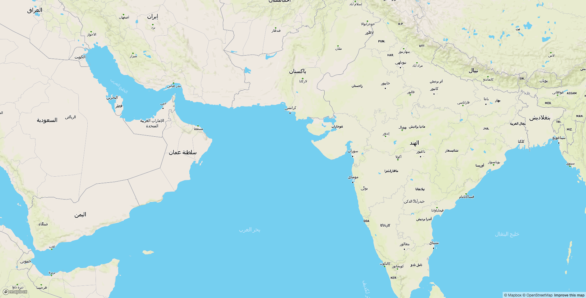 Arabic map of the world. (View full screen map)
 An interactive map built to live query the translations in Wikidata and to compare the similar sounding translations from various languages
การอภิปราย
ความคิดเห็นจาก lyx เมื่อ 23 กันยายน 2017 เมื่อเวลา 03:40 น.
The Arabic map doesn’t really work for me: In place of the labels I see kind of rectangular blobs, like the letters are covered by blocky rectangles that cover the area of the letter. So I can see what area would be covered by the label but I can not read it. I’m using Firefox 55.0.3_1,1 on FreeBSD 11.1. Do others have the same problem?
ความคิดเห็นจาก Wynndale เมื่อ 23 กันยายน 2017 เมื่อเวลา 05:42 น.
Could you explain the reasons for using Wikidata and not a solution inside OSM?