

Thirumala Temple in Harapanahalli, photo taken from: http://www.tripmondo.com/india/karnataka/mattihalli/
Harapanahalli, is a Taluk of Davanagere, Karnataka. This place is very commercial and has more schools and colleges than other taluks in Davanagere. A Hindu festival “Thirumala Jathre” takes place every year in the temple in Thirumalapura (2 km from Harapanahalli) which is in the image above. The people of all castes participate in the festivities by making Pooja(praying) in the temple, they celebrate this festival grandly.
When I started contributing to OSM 8 months ago, there were less than 10 roads traced in this town. Then, I started mapping and covered most of the town through my local knowledge. I mapped my home in OSM and happy to see that reflected in the map. I mapped my childhood memories, schools, colleges, residential roads, etc. I have added major POIs like schools, colleges, banks, ATMs, cafe shops. But still there are many more POIs and amenities to map and I will continue adding more. I learned mapping by watching a lot YouTube videos, there are more than 100 to choose from! Here’s one of my favorite made by fellow mapper Jef Haack.
I used to check Mapbox blog to learn mapping which contains good articles and GIFs. Anyone can learn mapping through these easily and can start contributing to OSM like I did. You can view the place in OSM. The screenshot of Harapanahalli which I have mapped is below.
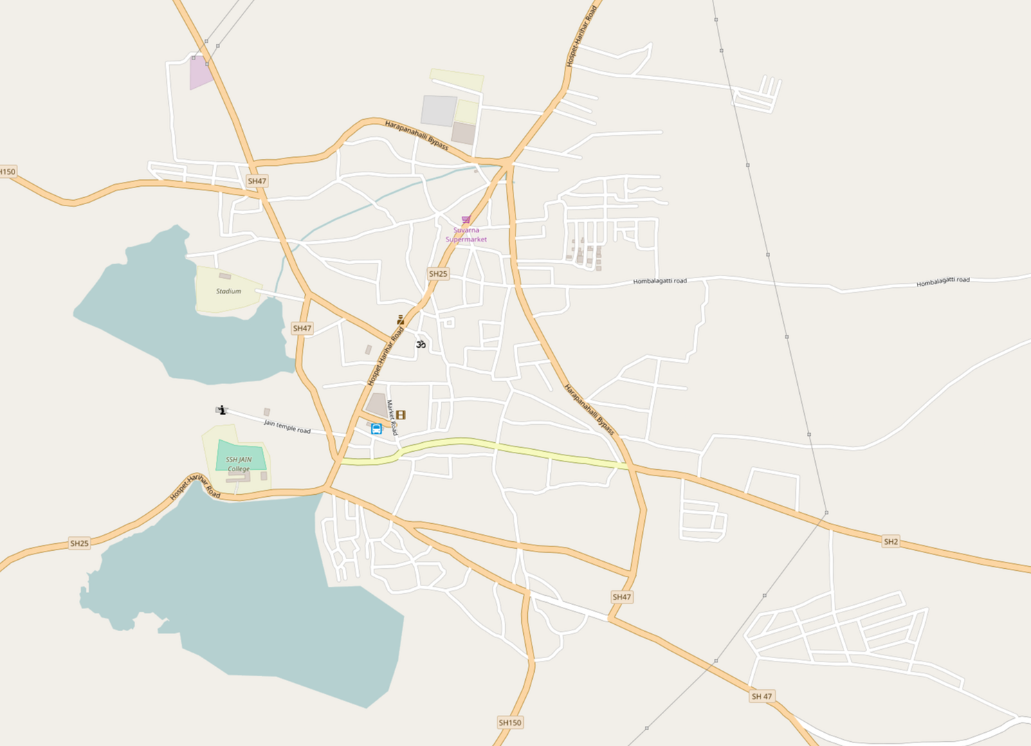 Screenshot of my hometown on OSM
토론