BubbaJuice
- 가입일:
- 2019년 05월 12일
- 마지막 지도 편집:
- 2025년 09월 07일
If I have done anything that is incorrect or questionable please contact me so that I can stop making these mistakes.
Hi, I’m BubbaJuice. I map mostly in Pima County, Arizona, focusing on natural geometry, power lines, and micromapping.
I have mapped a lot of natural geometry in the Chiricahua Mountains and the Sulphur Springs Valley, just west of it. I think my mapping here is a perfect example of accurate natural geometry that is lacked in other locations. The mountains consist of grassland, pine forests, pine-oak forests, and aspen forests dotted by steep slopes of scree and small steep cliffs of rock jutting out of the landscape. The valley contrasts the landscape of the mountain, with farmland, orchards, scrub, heath, and grasslands. See also the Santa Catalina Mountains where I have been mapping Pusch Ridge and Pima Canyon.
I was trying to make a complete overhead power line network in Tucson but it was too much work. On and off I am fixing up the transmission networks in some cities. I have completed Phoenix, Las Vegas, Albuquerque, and El Paso. I have done quite a bit of work in Tucson and the LA area as well. See a rendering of the power line network here: OpenInfraMap
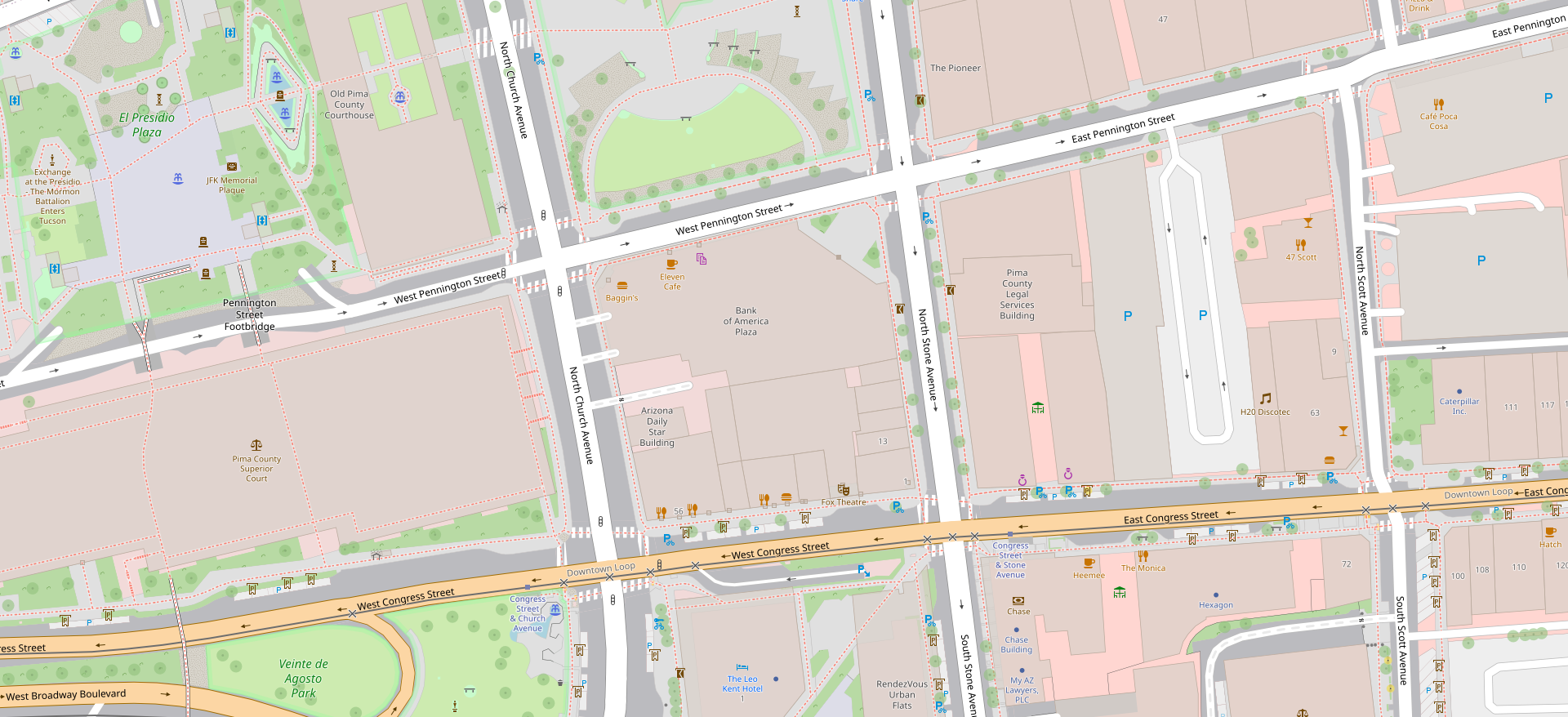
I am well experienced in micromapping, where I have filled in central Downtown Tucson. Below is Downtown Tucson rendered in my-openstreetmap-carto to show shrubbery, gravel, highway areas, and crossings.
In my OSM Wiki you can find more information about myself.
I have made a few edits on OpenHistoricalMap if want you to check that out.
- My stats: https://hdyc.neis-one.org/?BubbaJuice
- My Forum Account: ]https://community.openstreetmap.org/u/bubbajuice/summary](https://community.openstreetmap.org/u/bubbajuice/summary)
- My GitHub account: https://github.com/BubbaJuice