OpenStreetMap logo OpenStreetMap

Chetan_Gowda's Diary

Recent diary entries

Plot simple map using R

Posted by Chetan_Gowda on 19 January 2021 in English. Last updated on 21 January 2021.

You can plot simple Stamen map (© OpenStreetMap contributors) in R using below steps:

Install below packages in R Studio:

install.packages("sf")
install.packages("ggplot2")
install.packages("ggmap")

Once you installed, do load them using below code:
library(sf)
library(ggmap)

Next go to Geofabrik Tile calculator and copy the desired location co-ordinates.

Example: I copied Bengaluru co-ordinates using Coordinate Display tab under Osmosis copy and stored in bengaluruCoords like below:

bengaluruCoords <- c(left=77.17, bottom=12.59, right=78.05, top=13.34)

Finally run below code to generate map tiles:
get_stamenmap(bengaluruCoords, maptype = "terrain") %>% ggmap()

Here is the output: Screen Shot 2021-01-18 at 11 07 50 PM

Happy mapping & coding!

Location: Gokula, Mathikere, Bengaluru North City Corporation, Bengaluru, Bangalore North, Bengaluru Urban, Karnataka, 560013, India

State of the Map Asia 2018

Posted by Chetan_Gowda on 27 October 2018 in English. Last updated on 27 April 2021.

sotm-pink

OpenStreetMap India community is excited to announce and host State of the Map Asia 2018 in Bengaluru on November 17-18. This is the 4th annual Asia OSM conference and we are thrilled to welcome OpenSteetMap community and share their amazing journey. Do check for interesting keynotes, talks and workshops in program schedule.

How do I register?

This event is open to everyone, even if you are not speaking at the session :)

See full entry

OpenStreetMap Evolution

Posted by Chetan_Gowda on 6 August 2018 in English. Last updated on 10 August 2018.

OpenStreetMap evolved since many years. Millions of contributors are helping this project to grow everyday. Inspired by some of my friends, Karnataka and Ireland evolution projects, I wanted to vizualize different parts of the world.

Sharing simple animated GIF that I created using Mapolution on Docker on my Mac showing different countries’ OSM edits over years. The snapshots are taken for every 30 days from the starting date.

srilanka-2015-01-01-2018-07-31 
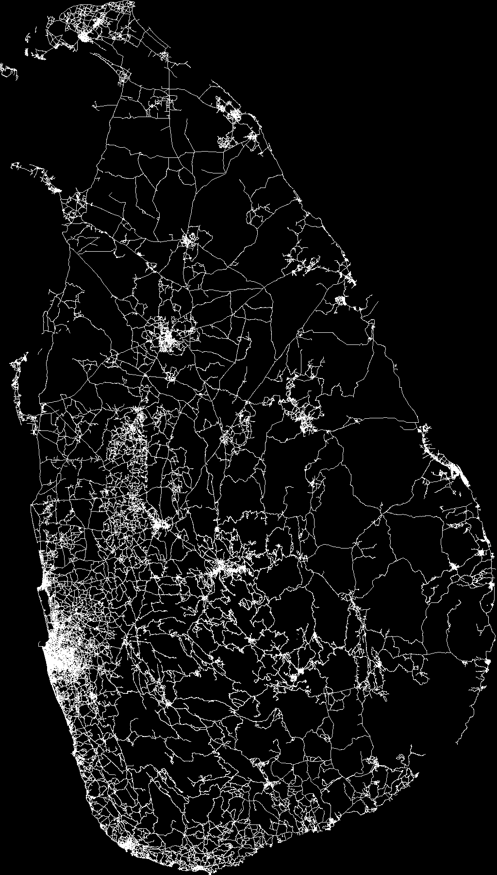
Sri Lanka (January 2015 - July 2018)

See full entry