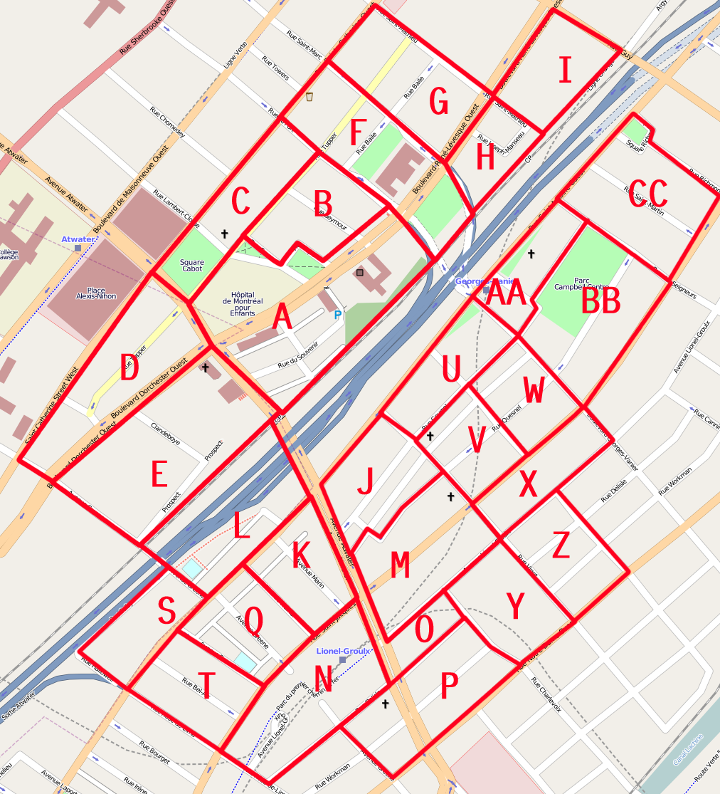
So I have completed most of Slice B (1898791 to 1899605) in my one-man cake around my home. It was really amazing (though understandably frustrating) how Mapnik updated in mid-upload.
I have a few uncertainty over these edits:
-I tagged the area surrounding the Canadian Centre For Architecture as landuse=grass.* It's not a municipal park, but clearly private land where the paths should be tagged with access=permissive when someone gets to it.
-I have two places where I need the ability to have two name= tags, because quite honestly I'm not going to start mapping buildings just to fix that. The issue are large apartment buildings with postal names and separate post codes (Sussex House and The Alden) which happen to have a shop=convenience in the lobby (named respectively Dépanneur Le Rochefort 88 and Dépanneur Hap Tak)
*I think I'm going to start using landuse=grass as my "default" tag for what I refer to as "institutional" landuse: the lands of convents, monasteries, large churchyards and public buildings, estates etc. that are sometimes nearly, but not entirely public access, and definitely not parks or commons, but frequently look like them. I'm not sure when I'll get to add landuse to the entire area around my home, though.
Discussion
Cummentu di acrosscanadatrails lu 22 July 2009 ê 03:28
I just had a quick look at the area. Looks good :)
IMO your tagging method seems fine :)
ie. signs that say "don't walk on grass' are clearly not parks. :) (you'd think that there should be a glass barrier over the grass lol. ... or spray paint the pavement green... :)
Cummentu di Circeus lu 22 July 2009 ê 15:23
Oh, but didn't you know? There are companies that actually specialize in painting the grass of for-sale buildings green.