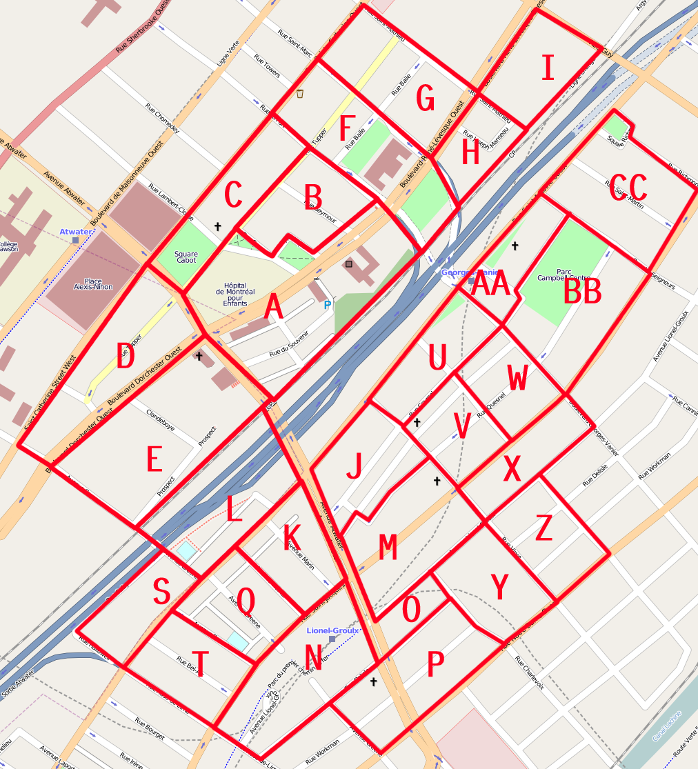
Slice D was a <sarcasm>bundle of joy</sarcasm> to do. Complicated and messy with really weird post code and house numbers mapping.
Oddities:
-4039 appears to cover at least two separate buildings. It is recorded by Canada Post as "Reddy Memorial Hospital", but that seems to have closed years ago.
-4150 Sainte-Catherine has three associated postcodes!
-4020 and 4030 Tupper are apparently delivery docks for 4010, but do not share the postcode.
-The Atwater Library (a privately funded public library) and a branch of the Montreal Children's Library share the same building, but this is obfuscated because the addresses are on different streets.
-I really wonder why 4000 Sainte-Catherine (a small Asian fusion restaurant) has a separate postcode...
-Despite my mapping, there is no car (foot is okay) access between the Staples parking and the alley behind.
I am still rather frustrated with the difficulty of mapping in a fashion that makes relatively clear where on can circulate on foot. I decided not to apply any brute force edits anymore. It just makes a MESS of the render. Yes I know "Do not map for the render blah blah", but remember that data that no tool render/uses in a pertinent fashion might as well not exist as far as users are concerned.
بحث مباحثہ