I just spent a while taking in, then entering data for my slice F. It was rather simple, except for a lot of fumbling around the first, which eventually led me to abandon the first attempt altogether.
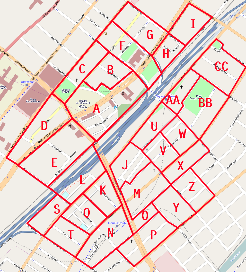
Lotsa one-way fixes here. Turns out Tupper is one-way Waster from Gladstone to Atwater, two from Atwater to Du Fort, one-way eastward from there to Saint-Marc, and westward AGAIN thence to its end. Similarly Baile was one-way eastward, not westward, as previously entered between Du Fort and Saint-Marc (I forgot to check whether the segment from Saint-Marc to Saint-Mathieu was also one-way. Bad Circeus, bad!).
Overall the addressing was refreshingly easy to jot down and mapped easily into post codes, except where Place Dufort had four of them, and Post Canada sometimes list addresses with separate post codes (such as Place Saint-Marc and the H Post Office) as part of address ranges sharing post codes.
Also got to enter three turn restrictions, including the one from Atwater to Dorchester. Forgot AGAIN to make Tupper just highway=residential instead of tertiary, though.
토론