ColinMarquardt's Comments
| Post | When | Comment |
|---|---|---|
| driven to details | Have you guys done street lighting yet?: http://opentiles.com/cmarqu/?zoom=13&lat=51.09126&lon=13.71586&layers=B00000000000000FT :) |
|
| Please help checking country node positions of African states | I don't even remember, but I think I was using XAPI to get the data at that time, then editing in any editor. |
|
| Lamp posts (tagging question) | I have done an overlay for my map showing lit=yes/no at http://opentiles.com/cmarqu/?zoom=13&lat=51.05712&lon=13.74187&layers=B00000000000000FT A different kind of tagging (highway = street_lamp; lamp_mount = suspended; lamp_type = fluorescent) is here: osm.org/browse/changeset/878559 |
|
| TopOSM update: Map legend and countour line labels | Thanks very much for the script, will try it soon on my map. |
|
| TopOSM update: Map legend and countour line labels | The second one is http://crschmidt.net/osm/mapnik/legend I suppose? I also remember the first one, but it too was far from an automated solution. |
|
| TopOSM update: Map legend and countour line labels | The dynamic map key on the OSM site is indeed very new, but updated manually. For this, your script would get a different backend to write the yml file format directly I suppose.
And FWIW, http://trac.mapnik.org/wiki/Legending now also has a link to this post. :) Cheers
|
|
| TopOSM update: Map legend and countour line labels | This legend-extractor script of yours is very interesting. Are you releasing the source? It could even live in Mapnik SVN or mapnik-utils at least... And the map looks even more awesome now! Cheers
|
|
| Maps in developing countries... | Oh, I incorrectly assumed ref was not set at all, I just saw the name written along the road. I thought steve8 had fixed the frequency of the shield rendering, but maybe not for all highway types and/or all zooms. |
|
| Maps in developing countries... | A small improvement would be to correctly tag the "D854", "D850" etc. as ref, not as name so that they are displayed with a shield. And I agree they should be rated higher than tertiary (from your report and that of a friend). |
|
| Yahoo Chamonix Mont Blanc | Where do you see GeoEye imagery? I certainly don't see those in the Yahoo tiles that are in e.g. Potlatch. I would be happy to be shown otherwise of course :) |
|
| Three days, three places | Would be interesting if Google StreetView dare entering that area at some point. They don't have it live yet at least. :) |
|
| The case for search and replace and/or myspell/aspell/ispell support | There is a clever script in SVN called change_tags.py which you could use for mass renaming, but I would discuss something like that on the mailing list first. |
|
| Road Name | It seem it was already in, visible at high zoom.
|
|
| Tracing | sudo make the "17" a ref tag instead of the name tag (will give you "shields") |
|
| First post: on Cassano delle Murge | 12.000 inhabitants fully warrants place=town, good catch. One thing I noticed when looking at the map there: the SP236 and SP205 and SP83 etc. parts of the road names should be in the ref tag instead, like this: ref=SP236. This will give you nice little boxes with this number in them, and the real name of a road in addition. Have fun mapping! |
|
| Borderline | On the other hand, http://matt.sandbox.cloudmade.com/?lat=50.31022&lon=12.19014&zoom=16&layers=B0 still shows it... |
|
| Kartographierung der Alsen Colonie (heute Wannsee - Berlin) | Wow, cool. |
|
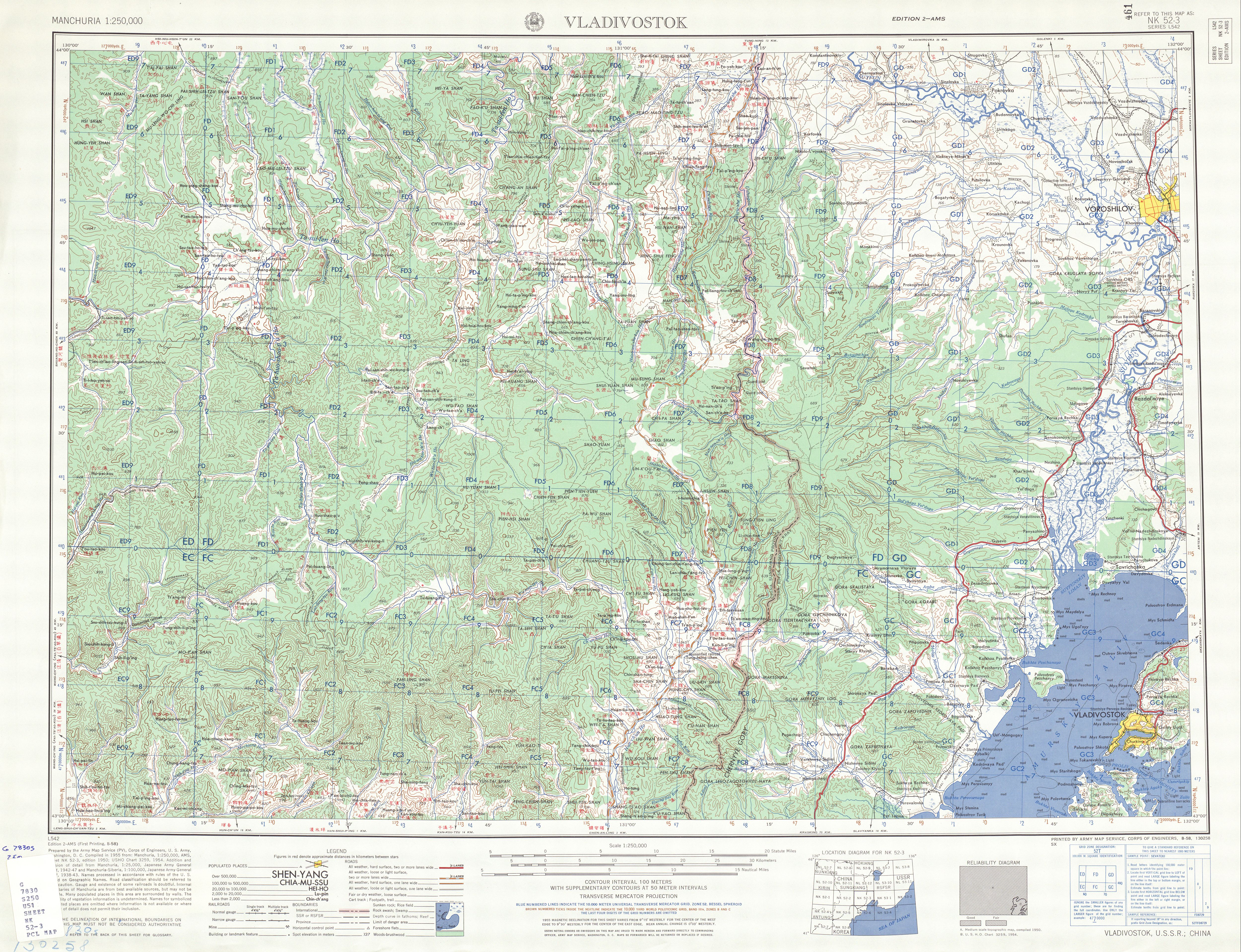
| Edge of Russia | Maybe you can also derive something useful from http://www.lib.utexas.edu/maps/ams/manchuria/txu-oclc-6614368-nk52-3.jpg |
|
| Merkaartor, Error corrections and Midnight mapping | The red X should work for deleting tags - you have to have your input focus set to the tag you want to delete. There is also a patch now that makes trackpoints unclickable (hopefully integrated into SVN soon). As for the icons, do you know that you can switch the map style? Try MapnikPlus for instance, it has more icons than the Classic style. MapnikPlus will also show a different icon for a node with tags even if it doesn't have a specific icon defined (I thought the Classic style did that too though...). |
|
| erste Versuche | Einfach Geduld haben, auf der Mailingliste oder im Forum konkret fragen, oder am 8.1. beim
|