
London Typhoon Haiyan Mapathon
Posted by Harry Wood on 19 November 2013 in English. Last updated on 25 November 2013.On Thursday we did a London meet-up which was a bit unusual. A “mapathon” event to improve map coverage in the Philipinnes after the typhoon. Check out the HOT blog post about the typhoon and the Typhoon Haiyan wiki page for general information about this disaster response mapping activity which is being coordinated by the Humanitarian OpenStreetMap Team.
On the Wednesday I was summoned to broadcasting house, to do an interview about OpenStreetMap Typhoon mapping on BBC radio (Listen to Wednesday’s World Business Report and skip ahead to 6:52). Fresh from the excitment of having the BBC pay some attention to us, Grant and I decided we should do an event, so we organised this at very short notice. I asked the ODI if we could host it there in 24 hours time.
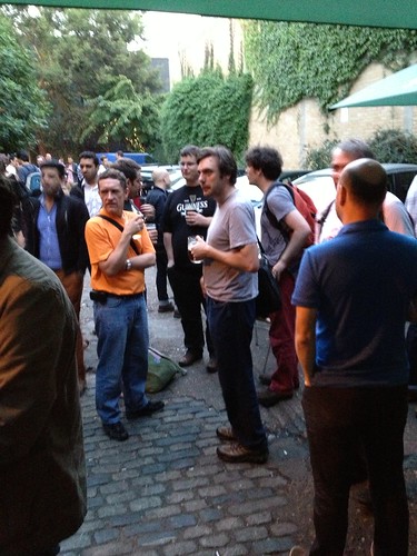
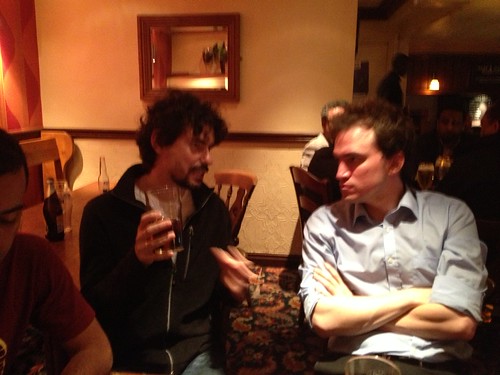
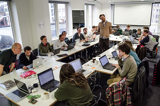
I half expected that the event would be a full house, but I really wasn’t sure. Turns out we had about 10 people come along, most of whome were seasoned OpenStreetMappers, so not quite the big band of people I was expecting, coming to learn editing for the first time. I guess more notice is needed for most people, and maybe more time to get the word out (what? Why isn’t everyone following @OSMLondon!)
However it was worth it for a couple of reasons. Firstly we got a bit of mapping done, got some people mapping for the first time, and some people mapping more confidently (Worrying that you’re doing something wrong seems a common problem, but mostly the worrying is not justified. Be bold! Give it a try!)


](http://flickr.com/photos/harrywood/8548664354/)
](http://flickr.com/photos/harrywood/8548664254/)
](http://flickr.com/photos/harrywood/8547564537/)
](http://flickr.com/photos/harrywood/8548664064/)
](http://flickr.com/photos/harrywood/8548663958/)