ImreSamu's Comments
| Post | When | Comment | ||||
|---|---|---|---|---|---|---|
| The use of Free and Open Source Software in the OpenStreetMap Foundation | @xamanu: TLDR: We need a checklist/guideline, what is the “true” FOSS (in spirit)! :) OSMF FOSS dogfoodingfor me ~ “FOSS allows for better collaboration among various parties and individuals with the goal of developing the most efficient software, hardware, documentation, open data, map data, … “ 1. for the outsider - the https://wiki.osmfoundation.org/wiki/FOSS_Policy page is not a true FOSS .. because collaboration is disabled! “Only foundation website editors have accounts on here” and this can be miss-interpet as a “We don’t want your feedback, suggestions, collaborations in this website !” 2. The better example: https://welcome.openstreetmap.org/ this can be edit ( the github repo is linked ) .. but this is “hidden” .. not visible … 3. (for me) the best example is “the postgis workshop page” : “Edit this page” Gitlab | Github “ is visible, and there is 2 alternative .. so the “everybody with an anti-github-sentiment” can collaborate. check yourself: https://postgis.net/workshops/postgis-intro/geometry_returning.html collaboration not only allowed .. you have a choice ! second order thinking:“Often when we solve one problem, we end up unintentionally creating another one that’s even worse. The best way to examine the long-term consequences of our decisions is to use second-order thinking.” The postgis project has 3 Source code repository, but the most popular is still the github mirror.
My pragmatic suggestion: just create another 2 git mirror and keep the github :
diversityWe need multiple alternatives ( ~ git(hub) mirrors ) so
can contribute as they like … |
|||||
| The use of Free and Open Source Software in the OpenStreetMap Foundation | imho: in the next version .. please add some long term vision/recomendations about open-source computing hardware !
|
|||||
| old - not relevant - test only | test |
|||||
| OSM + Pride Colours 🏳️🌈 | Want some stickers? | Please create a https://en.wikipedia.org/wiki/Heterosexuality logo! so everybody can choose! |
|||||
| Some numbers about mailing lists |
Thank you for sharing information. Just a note for the future mailing list processing: There are at least 2 google-groups based country mailing lists:
OFF: it is not a big problem - for the simple statistics, but can be a “real problem” for contacting local OSM community - in emergency cases.
|
|||||
| Ponte Morandi: why fiddling with the map? | sometimes I have found an OpenStreetMap links on commenting the news. like: Hacker News comments https://news.ycombinator.com/item?id=17756930 |
|||||
| OpenStreetCam sign detection code and training data open sourced | This repo ? https://github.com/Telenav/Telenav.AI |
|||||
| Not Yours, OpenStreetMap | Today’s challenges are our opportunities!I prefer: “Challenge” or “Strategic Inflection Point” expression insted of “OpenStreetMap is dying”. For me : “OpenStreetMap is dying”: is a self-fulfilling prophecy, it is like predicting the worst , similar than “nocebo” in medicine.
my favorite quote: “If you want to go fast, go alone. If you want to go far, go together.” We have a similar problems like other open source projects, What we can learn ? (“Shared vision”, “More contributors means less progress”,”Implementing peer review”) https://opensource.com/life/14/6/12-challenges-open-source-projects |
|||||
| #geo4kids - teaching kids basic geography | related :) SOTM2016:OpenStreetMap for educational purposes abstract: “I work a lot on how we can use OpenStreetMap with children in many ways for many objectives (knowing our daily environment, talking about commons, sharing our knowledge…). We also have experience of work with youth workers in social center, etc. We would like to share our initiatives, our experiences to spread OSM in direction of youngs in the world.” |
|||||
| How can we identify, using OverPass API, just the new roads made by a user ? | Hi @mmd,
The osmium cat is processing “osh”( history ) file, and my problem with normal overpass “user” is that very hard to query the first v1:”user” of the object. So for me the “osmium cat -opl” preprocessing is much easy. I have created a draft query, but maybe this is only a 15% of the final solution. ( I don’t know the original context of the problem ) This method is good enough for me - most of the times, but not perfect for calculating the original length of the new roads made by given user. ( this is the other ~ 85% of the work … )
This is only a draft solution ( Proof of concept ) and can be improved in the “osmium filter” and the “overpass” side. As I see - on the Overpass Side the generated query can be improved with:
|
|||||
| How can we identify, using OverPass API, just the new roads made by a user ? | for osmium tool ( opl ) see Usage Examples : |
|||||
| How can we identify, using OverPass API, just the new roads made by a user ? | again: wget http://download.geofabrik.de/europe/romania.osh.pbf
|
|||||
| How can we identify, using OverPass API, just the new roads made by a user ? |
Why not? example for a small history: “romania.osh.pbf, a file that contains the full OSM history for this region for processing with e.g. osmium.” ( this method should work with planet history! ) only 2 command line: wget http://download.geofabrik.de/europe/romania.osh.pbf osmium cat romania.osh.pbf -f opl | grep baditaflorin | grep “ v1 “ | grep “highway=” > baditaflorin_v1_highway.opl And I have found 11039 data cat baditaflorin_v1_highway.opl | wc -l 11039 tail baditaflorin_v1_highway.opl w424982374 v1 dV c40024550 t2016-06-14T19:15:06Z i398300 ubaditaflorin Thighway=track Nn4243347098,n4243347109,n4243347117,n4243347120,n4243347125,n4243347132,n4243347137,n4243347143,n4243347153,n4243347176,n4243347197,n4243347205,n4243347210,n4243347217,n4243347216,n4243347212,n4243347204,n4243347192,n4243347180 w424982375 v1 dV c40024550 t2016-06-14T19:15:07Z i398300 ubaditaflorin Thighway=track Nn4243347071,n4243347066,n4243347059,n4243347045,n4243347032,n4243347017,n4243347006,n4243347004,n4243347002,n4243346996,n4243346574,n4243346560,n4243346546,n4243346545,n4243346544,n4243346543,n4243346542,n4243346541,n4243346540,n4243346539,n4243346538,n4243346537,n4243346536,n4243346535,n4243346534,n4243346533,n4243346532,n4243346531,n4243346530,n4243346529,n4243346528 w424982376 v1 dV c40024550 t2016-06-14T19:15:07Z i398300 ubaditaflorin Thighway=track Nn255357385,n4243347278,n4243347295,n4243347302,n4243347307 w424982377 v1 dV c40024550 t2016-06-14T19:15:07Z i398300 ubaditaflorin Thighway=track Nn4243347153,n4243347161,n4243347170,n4243347187,n4243347202 w424982378 v1 dV c40024550 t2016-06-14T19:15:07Z i398300 ubaditaflorin Thighway=track Nn4243347063,n4243347068,n4243347074,n4243347088,n4243347089,n4243347092,n4243347100,n4243347110,n4243347127,n4243347138,n4243347152,n4243347171,n4243347196,n4243347206,n4243347211,n4243347231,n4243347232,n4243347236,n4243347243,n4243347250,n4243347256,n4243347261,n4243347262,n4243347263,n4243347265,n4243347267,n4243347266,n4243347268,n4243347270,n4243347271,n4243347272,n4243347287,n4243347296,n4243347297,n4243347300,n4243347304,n4243347306,n4243347313,n4243347315,n4243347317,n4243347320,n4243347324,n4243347338,n4243347349,n4243347353,n4243347369,n4243347391,n4243347405,n4243347408,n4243347411,n4243347419,n4243346814,n4243346823,n4243346832,n4243346840,n4243346846,n4243346844,n4243346837,n4243346821 w424982379 v1 dV c40024550 t2016-06-14T19:15:07Z i398300 ubaditaflorin Thighway=track Nn4243347393,n4243347401,n4243347396,n4243347388,n4243347387,n4243347386 w424982380 v1 dV c40024550 t2016-06-14T19:15:07Z i398300 ubaditaflorin Thighway=track Nn4243347087,n4243347086,n4243347069,n4243347044,n4243347041,n4243347037,n4243347030 w424982381 v1 dV c40024550 t2016-06-14T19:15:07Z i398300 ubaditaflorin Thighway=track Nn4243347019,n4243347003,n4243346994,n4243346586,n4243346573,n4243346571,n4243346568,n4243346558 w424982382 v1 dV c40024550 t2016-06-14T19:15:07Z i398300 ubaditaflorin Thighway=track Nn4243347072,n4243347067,n4243347031,n4243347021,n4243347008,n4243346989,n4243346578,n4243346569 w424982866 v1 dV c40024550 t2016-06-14T19:19:56Z i398300 ubaditaflorin Thighway=track Nn255357375,n4243353116,n4243353115,n4243353114,n4243353113,n4243353112,n4243353111,n4243353110,n4243353109,n4243353108,n4243353107,n4243353106,n4243353105,n4243353104,n4243353103,n4243353102,n4243353101,n4243353100 |
|||||
| Italy's top 250 contributors |
NOW - it is possible to download the OSM history for Italy ( http://download.geofabrik.de/europe/italy.html )
So the statistics will be better! :) |
|||||
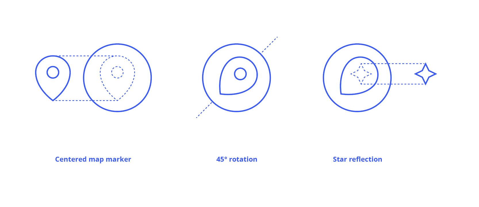
| Mapbox has a new logo! |
:) Instead of “Rotating 45°” it can be a “Rotating 42°” ( it is only a small change ) “42” is very Good Number: https://en.wikipedia.org/wiki/42_(number) so it will be easy to connect to:
The Good Part :
|
|||||
| Belarus in Belarusian + bilingual / trilingual / quadrilingual names in Europe | ||||||
| Local Chapter Congress Notes from SotM 2016 |
:) OSM StickersIs it possible to order/receive OSM Stickers for small osm communities? For Example ( Hungary )
|
|||||
| BOUNTY: identify changesets where street names were inserted | status: [1] https://docs.google.com/spreadsheets/d/1DBCm6AQ7k7VCdy99bnYYpRvrzfvPyppsHDIprTCOdVk/edit?usp=sharing Now :
ToDo:
Naoliv:
( next status report : maybe end of the next week ) |
|||||
| BOUNTY: identify changesets where street names were inserted | Hi naoliv, I have started ..
I have created a simple sheet for 2017-01. https://docs.google.com/spreadsheets/d/1nYblVf6ZKT7AKoqk729BVyqY6ZDTAhaLPBQuBQMf70o/edit?usp=sharing maybe the 1.,2. requirement is not hard , [ for a v3. I need to add the changeset values ) |
|||||
| OpenStreetMap Community Statistics Revisited | :) According to the “LibreOffice Calc files” - “Null Island” is better than “Czech Republic”
|
 >
>