Et Logo vun OpenStreetMap OpenStreetMap

Koreller's Diary

Recent diary entries

I see many diaries on OSM, but unfortunately the good ones are hard to find, if they can be found at all.

In this diary, I offer some perspectives, without any technical pretensions, but just for the thinking of “what it might look like” in the vein of “Reimagining the OSM.org” or “Better-osm-org” but without the technical side.

This diary is a proposal, a reflection. Its aim is to offer a vision of what diaries might look like in the future.

Observation

Many diaries published by the community are interesting, not all of them are, but those that are would benefit from being discovered and promoted to a wider audience.

Diaries are not discoverable from osm.org. When a diary is discovered, it is almost exclusively through direct sharing via an OSM communication channel (forum, Telegram, Discord, etc.).

The aim is to offer ways to find interesting diaries more easily, to know which ones the community values or finds interesting.

Proposal

Categorise

Allowing diaries to be categorised offers several advantages:

  • Easier to identify the topic(s) of a diary
  • Have a list of diaries talking of a specific topic
  • Easier to find a specific diary

A category would group together several diaries addressing the same theme.

This categorisation might be done in the form of keywords, for example: #tutorial #josm #streetcomplete #sotm #telecom #esri.

Add upvotes

To enable the community to highlight the diaries that have generated the most interest and that they found most useful, it would be possible to add a like (or a downvote or an emoji reaction) to a diary.

The same options for comments might be used to highlight the comments most appreciated by the community.

This system would be very similar to GitLab for issues, or Reddit for content.

See full entry

Building drawing tips, a perfect guide

Posted by Koreller on 1 September 2024 in English. Last updated on 19 September 2024.

In this diary, I’m going to explain how I draw buildings (and shape in general), with my tricks for doing the most precise work possible and achieving the greatest possible symmetry and alignment, but without measuring everything out either.

It’s my meticulous way of trying to do things as perfectly as possible, and everyone does it the way they want. There are many times when I do things more simply and less precisely

Tip 1: Use JOSM

JOSM Logo

See full entry

Pyongyang Cities: Skylines

Posted by Koreller on 1 March 2024 in English.

Mapping on OpenStreetMap allows many things, like 3D mapping.
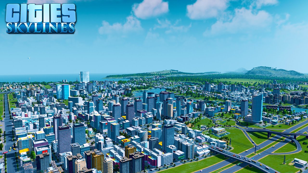
Having played Cities: Skylines, I was always intrigued by this game, and the idea emerged: “It would be nice if for Pyongyang I could come up with something nice like Cities: Skylines”.

Screenshot of Cities: Skylines

Well, the reality is that it’s a lot of work (and yes, as always!) and OSM wasn’t designed for 3D… but there are ways of getting close and having a lot of fun! So I explored this topic on the city that interests me, and you guessed it: it’s Pyongyang, see it on DemoF4map !

Today, I estimate that there’s a third of the city “in 3D”, as well as a good proportion of the monuments.

See full entry

Location: Kyongrim-dong, Central District, P'yŏngyang, North Korea

In May 2023, I discovered the existence of two websites : “The Skyscraper Center” and “Skyscraper Page”, presenting skyscrapers from all over the world and especially… skyscrapers from Pyongyang!

I took this opportunity to enrich several free projects on which I’m active: Wikidata with the creation of the elements in the first instance, combined with images from Wikimedia Commons in the second instance, to place them and link them with the OpenStreetMap data in the final instance!

Creating the skyscrapers in Wikidata

Wikidata is a database that can be very useful for the OSM project. In my case, it was very useful for tracking each skyscraper.

And it’s very well suited to adding all the skyscrapers that existed in The Skyscraper Center and Skyscraper Page for Pyongyang city.

Wikidata has a number of “properties” (PXXX) which can be used to provide a whole range of information:

  • where each building is located (P625)
  • when they were built (P571)
  • their height (P2048)
  • the number of floors (P1101), etc…

See full entry

Location: Tongsin 3-dong, P'yŏngyang, North Korea

Mapping Pyongyang: a work of patience

Posted by Koreller on 1 October 2023 in English.

Mapping a large urban area in its entirety is quite a rare task.

Pyongyang, the city I mapped, is an urban area 15km wide by 12km long. It took me over a year from April 2022 to May 2023 to complete, particularly the buildings and roads. But I’m really pleased with the result: just look at the state of the map!

Mapping a capital in its entirety is rare, and for several reasons:

  • Firstly, because all the major urban areas in the West have already been mapped. This leaves the countries with the fewest contributors, whose capitals may already have POIs… but rarely all the buildings and roads.

  • Secondly, because you need a good amount of motivation, when you’ve reached the 60,000th building and you’re still halfway there… well… you have to hang in there! I also think it’s hard to imagine embarking on such a lengthy mapping project. Imagine if you wanted to undertake a project like this for Hanoi… unfortunately it can be discouraging from the outset.

But mapping by small parts, by neighbourhood, is a method that worked quite well for me, so maybe it will work for others!

In short, there are still many capitals to be mapped on these basic themes! But getting started, and above all keeping going, is a fairly difficult task because you need to stay motivated. If you do, hang in there!

Mapping Pyongyang

Beginning of the idea

When I started mapping in North Korea and writing the contribution guide to the country (cf. my previous diary) I never thought I’d be embarking on such a task because… it’s a capital in fact! It’s big, it never stops, it’s long, you never see the end of it! But in fact it is ;)

But I didn’t start mapping in North Korea by saying to myself “I’m going to map the whole capital”. In fact, for a long time I never even thought about it. In fact, it’s a project that’s taken place in several stages.

See full entry

Location: Kyongrim-dong, Central District, P'yŏngyang, North Korea

When I started getting involved in mapping on OSM around July 2021, I asked myself: “But why hasn’t anyone made a guide to help me map this country?” and indeed, there was no specific guide to contribute on North Korea!

North Korea Mapping Guide

Beginning

After learning and integrating all the basic OSM tags (including highway=*, building=*, natural=*, landuse=* etc.) and mapping some small towns of the country, I thought about creating a personal page of recurring tags for easy retrieval.

Then the idea came to me to make a thematic page on the contribution specific to this country.

Access to the terrain in North Korea is complicated, and a good understanding of satellite imagery is essential, so a guide to the subject becomes all the more relevant. So I decided to create one!

See full entry

Location: Otan-dong, Central District, P'yŏngyang, North Korea