
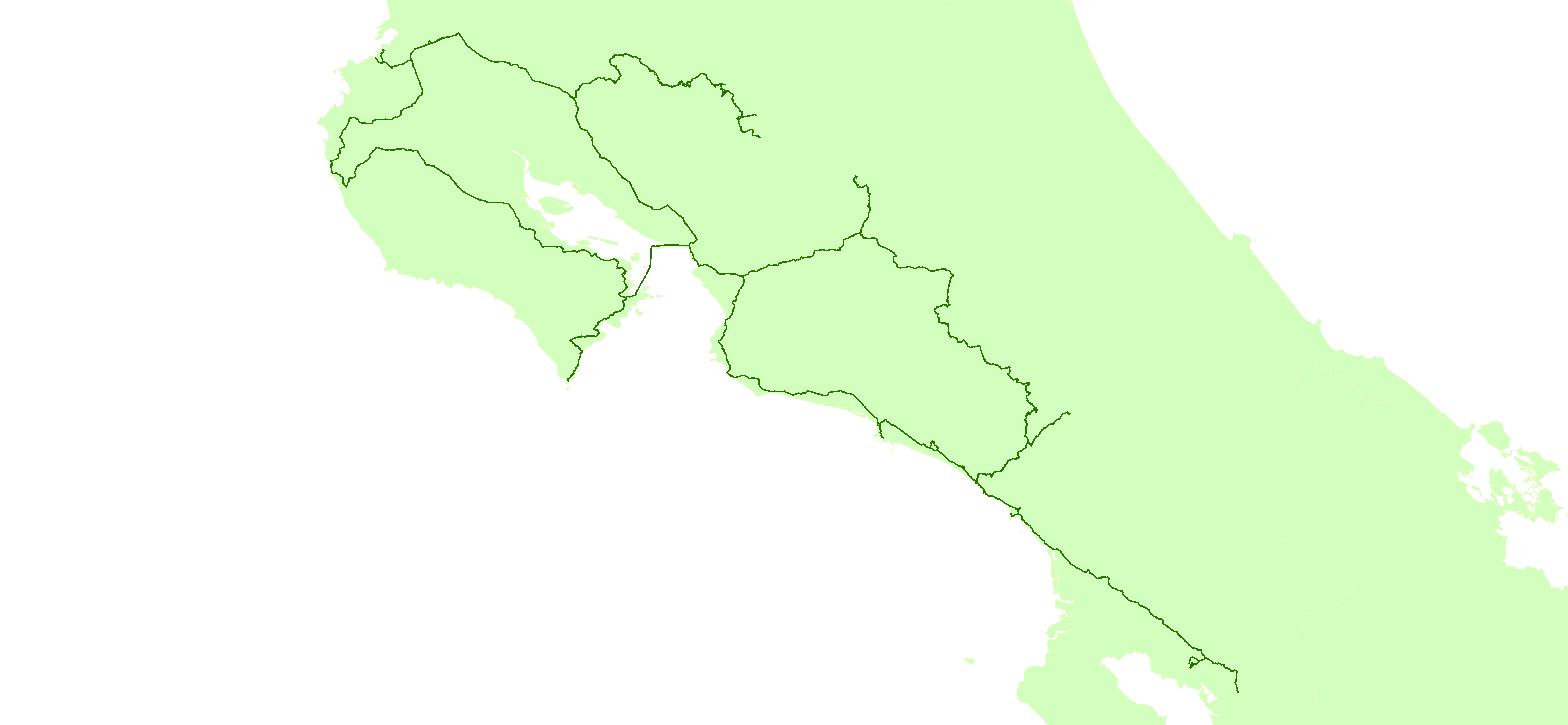
I created this data with a Garmin 64st.
while driving I used a 1 second interval
while hiking I tried to change it to 3-5 seconds (if I remembered). The ferry from Paquera to Puntarenas I believe i did every 8-10 seconds.
I also saved my tracks with a Olympus Stylus TG-2. This data is pretty rough though (but there is one line when we went white water rafting that shows the river that I did not bring my GPS on).
I release this data to the public domain – you may use for any purpose.
https://revolutionarygis.wordpress.com/2016/03/13/gps-tracks-from-costa-rica-trip-march-2016/
讨论
Glassman 于 2016年03月13日 19:51 的评论
Did you upload your gps data to OSM?