I think the statistics on the cyclists on Mapillary is very interesting. See the blog entry for full details.
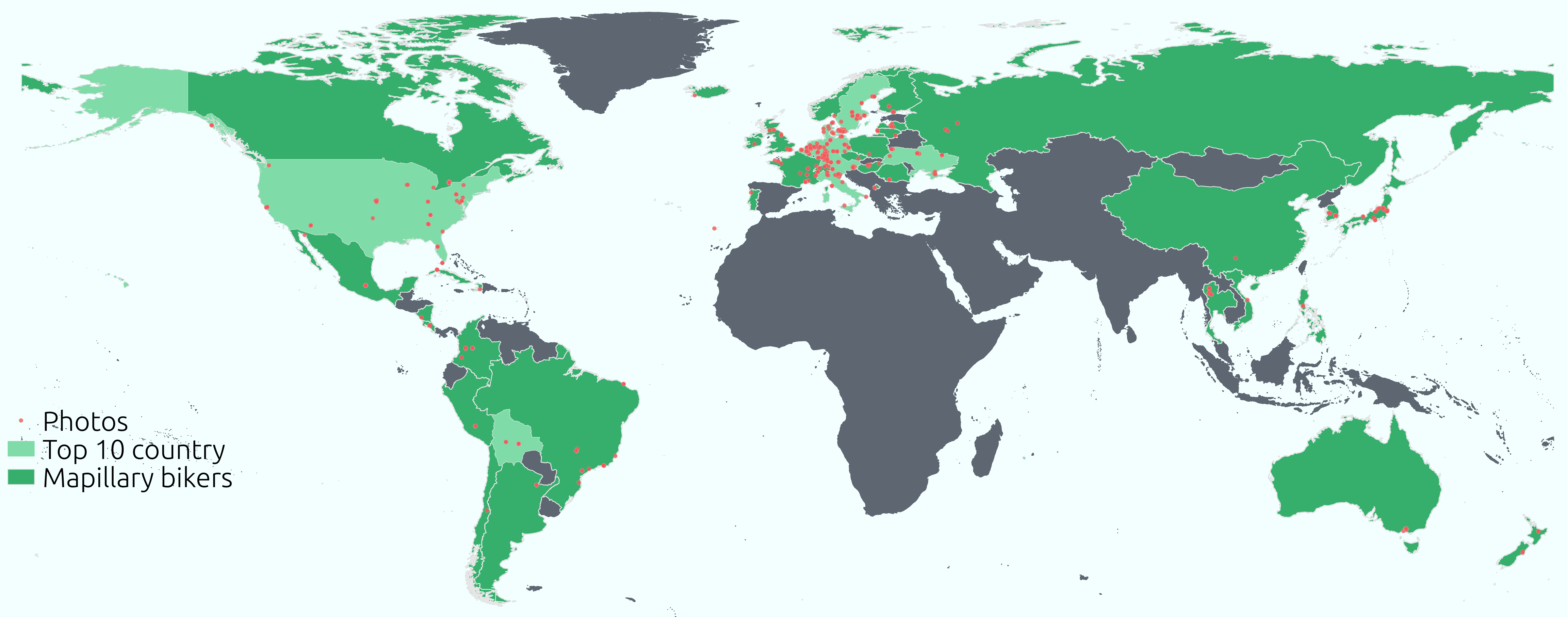

I think the statistics on the cyclists on Mapillary is very interesting. See the blog entry for full details.
Hi there, last week I had the rare possibility to be invited to State of the Map France in Clemont-Ferrand.
It was fantastic to be welcomed by Mapillary power users Vincent de Château-Thierry and Jean-Louis Zimmermann and speak over dinner to Christian Quest, President of OpenStreetMap France. Thanks a lot for getting me to our stay at the Indigo-Camping site.
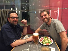 Photo by JL Zimmermann
For the conference, it was great to see a whole lot of interest in the work we are doing for OSM and the wider community. Here is the link to my short presentation - the videos should be up soon I hope. Jean-Luis showed a LOT of interesting examples of the use of Mapillary for different OpenStreetMap applications, available as a wiki of links - check it out!
Hi there, I just wanted to point out that for the next step in providing high quality data to OSM, we at Mapillary are preparing to close the feedback loop for the algorithms not only on the mapillary site with blurring etc, but for potentially all other objects like street signs (more to come). You can soon tag things as points and rectangles in MapillaryJS, thus providing feedback on things that are good or bad, and even tag things yourself that you need in your own data, all in the 3D visual environment of MapillaryJS.
There also is a pull request pending for getting MapilaryJS to show up in iD for better visuals than the existing static images to start with so stay tuned!
/peter
Hi there,
I’m pretty excited about Mapillary starting to approach large scale 3D reconstruction of places and cities. To start with, this will be used to correct bad GPS traces, but also to make a whole new generation of navigating images in space and time possible.
Think of it as a crowdsourced photosynth with free navigation and totally dynamic filtering for users, time and other parameters as a first step. I think this will further make a very positive impact for everybody using OSM and Mapillary for getting high quality information out.
See the Mapillary blog entry for full details. Feedback is very welcome!

/peter
Finally, the last of the basic edit functions is live - manual blur/inblur of images by all users, if the bots don’t catch it, read more about it over at Mapillary’s blog
Today I tried to edit my first entry in the OpenStreetMap Wiki by adding a page for Mapillary. However, big thanks to Alexandre Magno who started even before that with the Portuguese version. This community is pretty amazing!
/peter
Hi there,
starting on mapping up the Malmö central town area a bit better with my FreeRunner, anyone interested in helping out?