PlaneMad's Comments
| Changeset | When | Comment |
|---|---|---|
| 89867240 | almost 5 years ago | Palakkad district boundary now: http://overpass-turbo.eu/s/Xlw How it was:
|
| 81650890 | almost 5 years ago | Here is an overpass query that can find any road named with this scheme: Starts with L or R and followwed by atleast one number: http://overpass-turbo.eu/s/Xfg You can run for any area and export the results to JOSM. In JOSM you can do ctrl+f and search for `way` to select all roads and then edit the name tag to another value like osm.wiki/Key:ref If these numbers are in popular use by people locally, it can go in `ref` tag, but for other internal systems its best to put it in a more descriptive tag which makes it clear who is the authority for these codes `ref:<reference authority>` . This makes it easy for others to verify or update the codes as necessary. |
| 81650890 | almost 5 years ago | Hi can you clarify what these road names are? Having been to Bhuj these are certainly not the street names. If they are some official identifier, we can move them to the 'ref' tag, otherwise they should be deleted. Let me know if you have any objections to removing them as they do not add any value to the data and are incorrect as the road name property. |
| 83060497 | almost 5 years ago | Hi, have corrected a few stream here that did not seem to match the terrain. Please check if you have more local knowledge. |
| 78438209 | about 5 years ago | It was a handicraft shop, but i wouldn't be surprised if there was houseboat named that :P |
| 78438209 | about 5 years ago | My interpretation of a `pedestrian` street is one that has been restricted for vehicles to give pedestrians right of way and not "too narrow for vehicles to use". Reason for tagging it pedestrian was more of hunch that the whole route was closed off for entry to vehicles, but from your evidence doesn't seem to to be the case. Service seems appropriate. |
| 78438209 | about 5 years ago | Suffering Moses is west of Zero bridge, so looks like we both have been on different parts of the road :D Ultimately would be great to have someone local update it (hopefully soon!) |
| 78438209 | about 5 years ago | Have only walked on a short stretch in front of Suffering Moses back in 2012 and did not recall seeing vehicles on it. Will definitely trust your judgement and service definitely seems like a better option. |
| 84168719 | about 5 years ago | Hi Amalu, fantastic work tracing all the waterway network, this is really useful for so many applications. Keep up the great work! |
| 67322527 | about 5 years ago | Hi Praveen, excellent work mapping Gollacherla village, it looks really beautiful. Have added some buildings and made some more improvements. Have a nice day! |
| 63841679 | about 5 years ago | Very nice to see your detailed mapping around Bayang. Have made some more improvements like add the village name. |
| 87512585 | about 5 years ago | Hi, many thanks for your wonderful contributions around Madurai. There are a few issues, particularly in this changeset:
Its easiest to use osm.wiki/JOSM/Plugins/Reverter to undo this changeset in a single click. let me know if you would like any help. |
| 85577405 | about 5 years ago | Done. Sounds like the best approach considering osm.wiki/Disputes#On_the_Ground_Rule |
| 73058770 | about 5 years ago | Hi Sundar, Phatehpur Sikri looks like a rather odd spelling. What is the reason to change that? |
| 87093593 | about 5 years ago | Hi, you seem to have added an incorrect placeholder name 'addme' for many places. There is no reason to do this since its possible to query unnamed places using overpass. Please remove these name tags. Let me know if you need help with it
|
| 81651413 | about 5 years ago | Thanks for all the Gujarat edits. What is the source for all these alphanumeric street names in Bhuj. Are these real street names or identifiers from some database? |
| 85574373 | about 5 years ago | Thanks for spotting, fixed. |
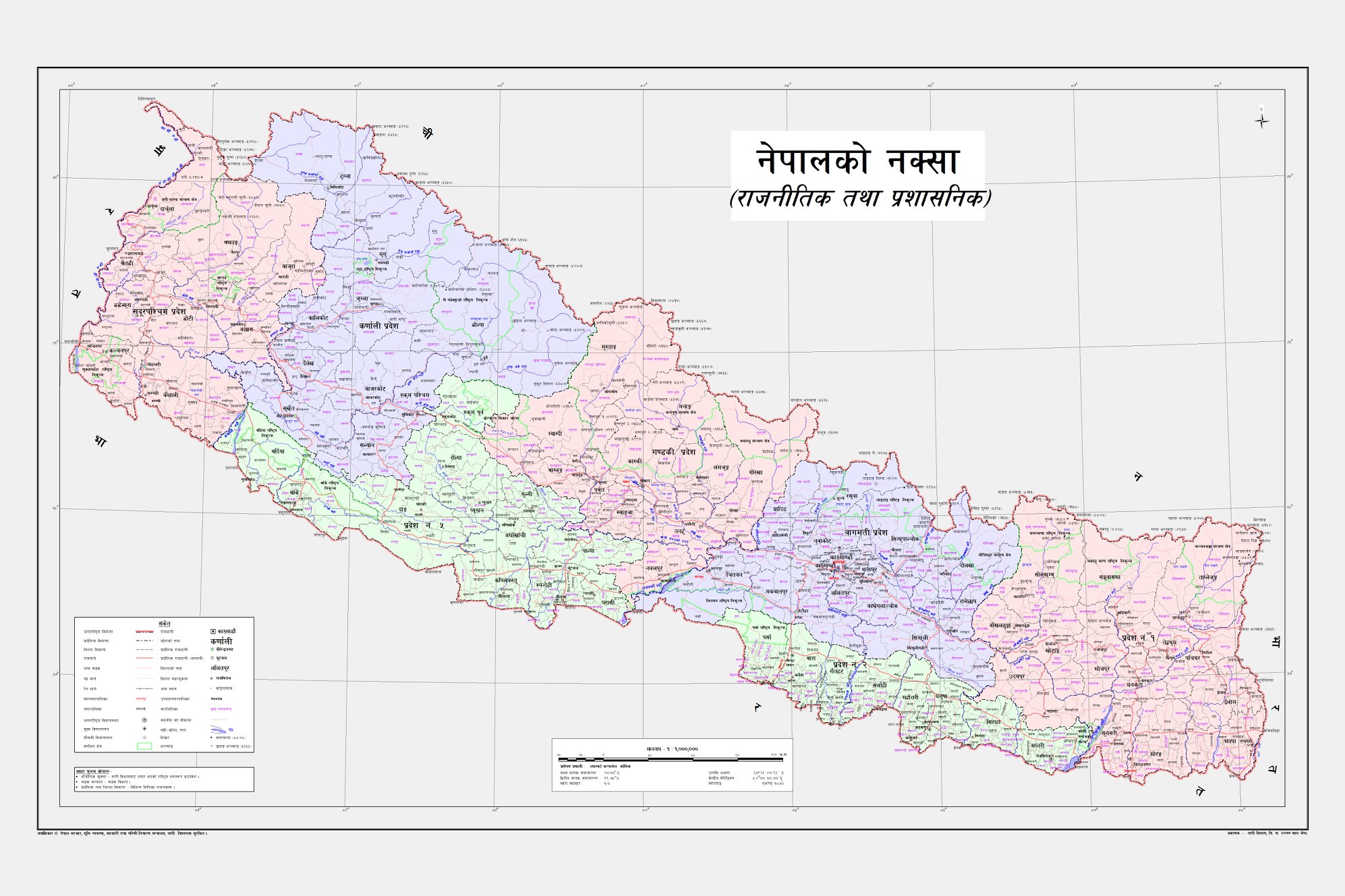
| 85523480 | about 5 years ago | Was updating Kalapani territory according to the new Nepal map https://assets-cdn.kathmandupost.com/uploads/source/news/2020/news/98353477_1682609495224206_5916763212010749952_o.jpg and noticed that the Kuthi Yankti river was renamed to Kali in this changeset. While doing some research it seems like there are multiple references that establishes the river is called Kuthi Yankt, especially since the hamlet Kuthi also lies herei:
It would be useful if you can share which part of Treaty of Sugauli claims this is the Kali River? |
| 85114623 | about 5 years ago | Made a few more fixes to revert the changes made osm.org/changeset/85574373 |
| 71613133 | about 5 years ago | Fantastic work with all the details. Map is looking beautiful! |