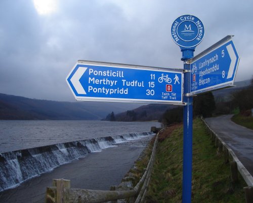
I've added about 40 miles or so to OSM's National Cycle Network coverage this weekend, despite - sadly - not having been out on a bike.
First up was NCN 41 south of Gloucester. We got quite a lot of this a couple of weeks back when we went (by car) for a day out in Gloucester, and decided to take an excursion further down the Severn Vale. NCN 41 seemed to follow us wherever we went, so I made a couple of notes. This track, combined with others' mapping, meant that we had the route most of the way to Saul.
South of Slimbridge it was already mapped, but there was a big lacuna between the two, so when we went to Slimbridge this weekend I requested a slight diversion... and lo and behold, that's NCN 41 mostly complete south of Gloucester. (The route in Gloucester itself is still largely unmapped, though.)

Today I mapped the Taff Trail - NCN 8 from Brecon to Cardiff. I'd already mapped the Brecon Beacons section (Talybont-on-Usk to Merthyr Tydfil, as per above) and had GPS tracks for the rest from the last time we cycled it. It's now complete down to mid-Cardiff, though since my notes were patchy verging on non-existent and my photos sporadic, there may be the odd bit of cycleway mapped as unclassified road, and vice versa. It should be 95% right, anyway.
Discussion