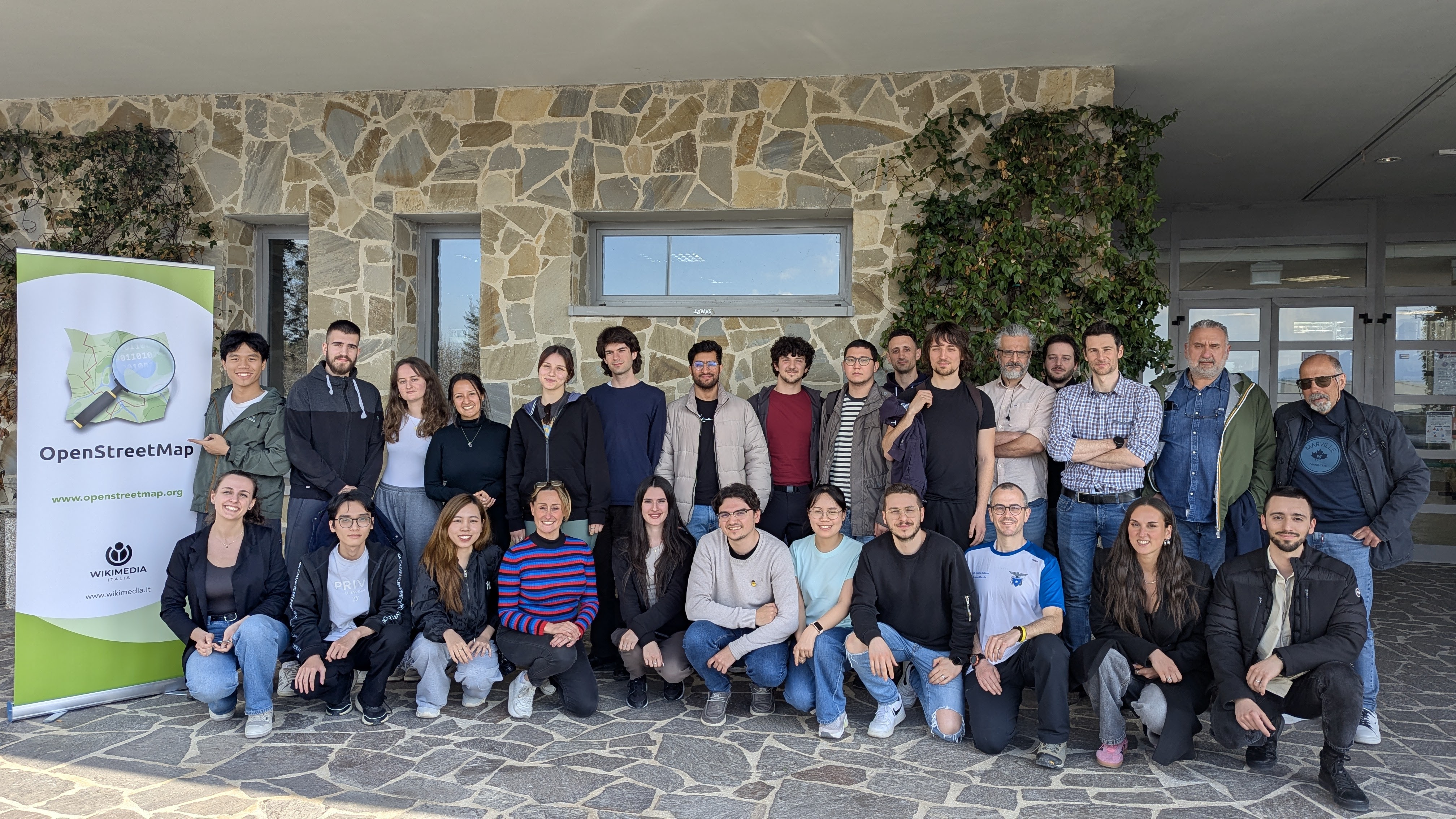
Mapping & Hiking: how to collect open data while having fun
Опубликован Robot8A 30 апреля 2025 на языке English.Cross-posted from https://odeco-research.eu/?p=4999
On Thursday, the 10th of April 2025, we celebrated the event “OpenStreetMap: Mapping & Hiking” at the University of Camerino, Italy. After two months of preparation, the event was well-received and had a diverse and satisfied crowd.

OpenStreetMap (OSM) is a collaborative geographical database of the world. Millions of people use its data, and also millions contribute to it in various ways. However, there are still places where there is no strong local community, where its villages and rural areas are heavily undermapped. Camerino, while the town itself is well mapped, has some incredible nature and cultural spots nearby, which needed an update. As well, being a university town with students coming from all corners of Italy and the world, makes it a prime location for engaging in outreach activities and kickstarting a community.
