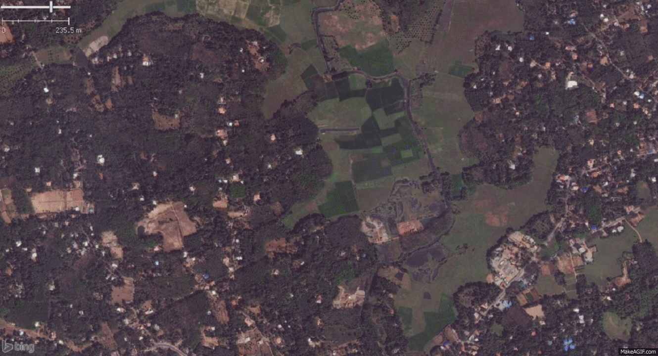
Mapping a 15+ km long canal and some farmlands nearby
Publiée par SM@Edit le 13 mars 2016 en English.Area:
The district of Kottayam lies in the South Indian State of Kerala. It is also known as Akshara Nagari or the city of alphabets. Kottayam is well known for its spices production and trading.
Mapping
I attempted to map a canal connecting multiple villages in Kottayam. It passes through the villages of Kidangoor, Kadappoor, Vempalli, Kalikavu and so on. There are lush green fields visible at both sides of the canal in most of the villages it passes through - was able to quickly map them once the canal was marked.
Experience
Though the area covered is quite large, I was able to digitize these features in reasonable time.
Canal and farmlands mapping
Discussion