
I went for a walk yesterday, to see what I could see:
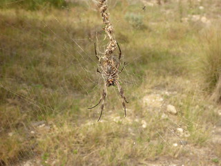
I was not stopped by this sentry (‘though she was about 100 mm long so I did duck off around the other side of the shrub):
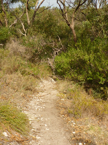
And carried on to map this lovely bit of path:
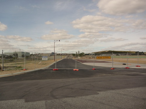
A while later I found that Cockburn Road has been temporarily realigned while it’s being improved (should at least be a tiny bit safer to cycle along once it’s all done).
There are a few new roads being built in this area, so I’ve added stubs for these on the maps pending someone getting in there with a GPS at some point.
The rest of my photos are on Flickr (and are geocoded, for easier browsing for later verification of any edits).
討論