
For next style of my renderer I took a lofty goal - Soviet military topography maps.
I think OpenStreetMap definitely deserves an Soviet-military-like layer, because it’s more than just a map - there are tons of data hidden in database which are not shown on standard layers.
So I made one for my renderer. It can be used with command like this:
lunarender map.osm rules/soviet.lua
Enough talking, show us teh maps….
Maps
viaducts in Hlubočepy and Barrandov bridge on right side:
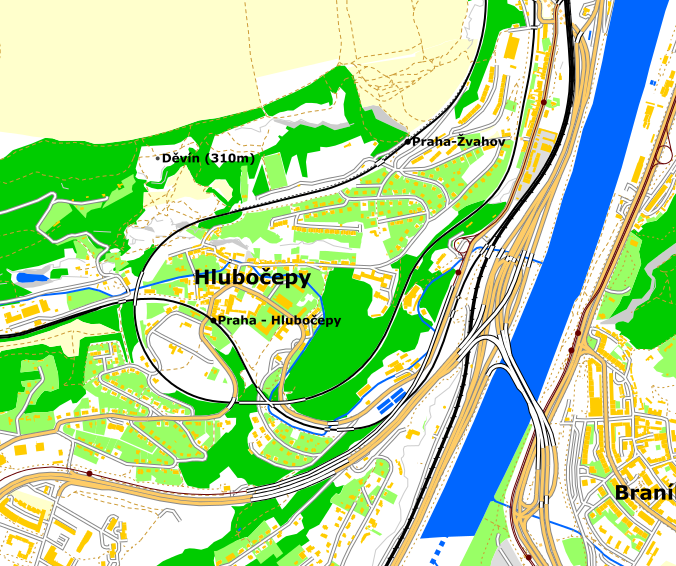
(not bad for week old renderer software, isn’t it?)
panel housing estate Lužiny:
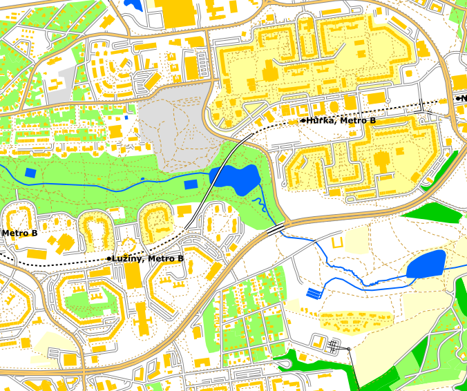
(definitely looking better on map than in reality)
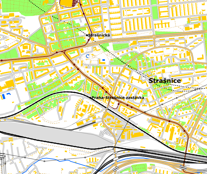
Strašnice, note tram depot at upper side, disused railway classification yard at bottom and subway running from north to east:
power substation near Chodov:
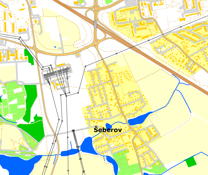
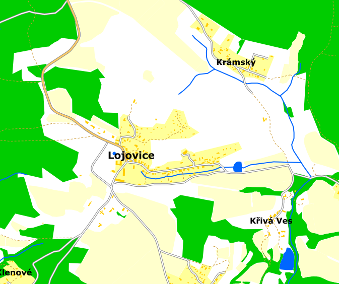
all previous pics was taken in Prague. But this style is useful in small villages too:
It isn’t perfect yet. I cannot properly render multipolygons yet, which is seen at this view of Palmovka:
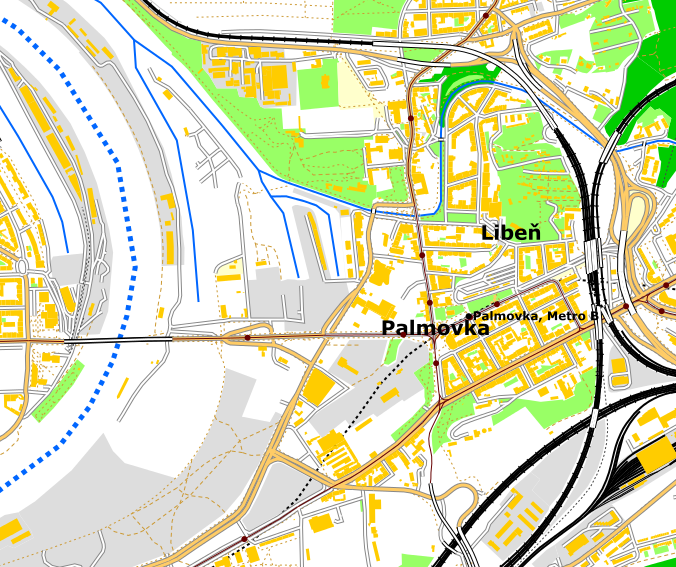
Note the blue dashed line where the missing river is.
Multipolygon support is number one in my todo, because it means lots of missing rivers and woods now. There are a lot of work waiting to be done…
بحث مباحثہ
1 January 2016تے 23:05دے بارے BushmanK دی رائے
Yes, there are lost of big fans of Soviet topographic maps (not including me, because these maps were designed to be cheap, not to be really usable), so you can have certain success with it.