What food is there - and can I get a wheelchair in?
Objavil SomeoneElse v 24 junij 2025 v jeziku English.I recently updated this map:
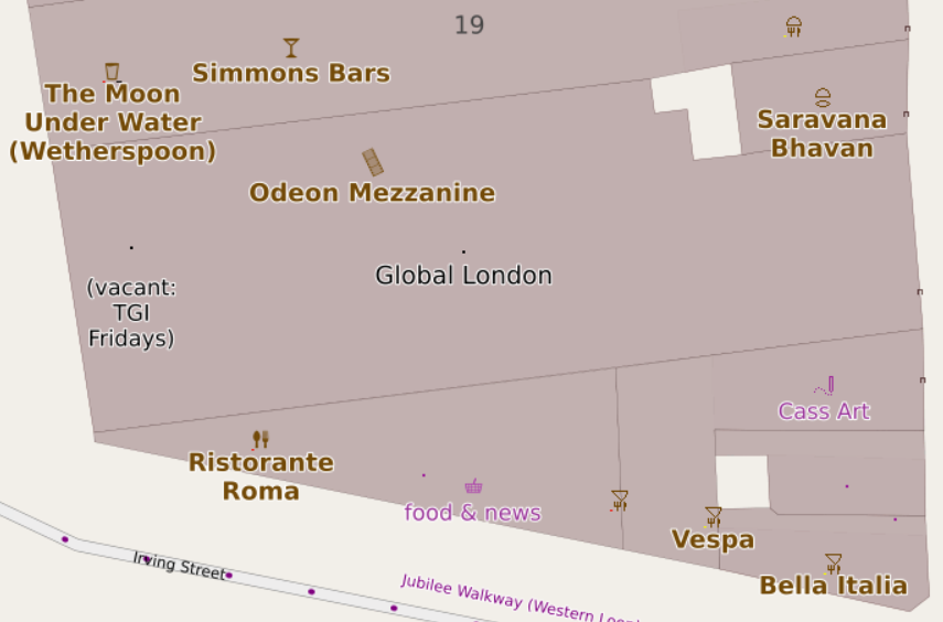
and this one:
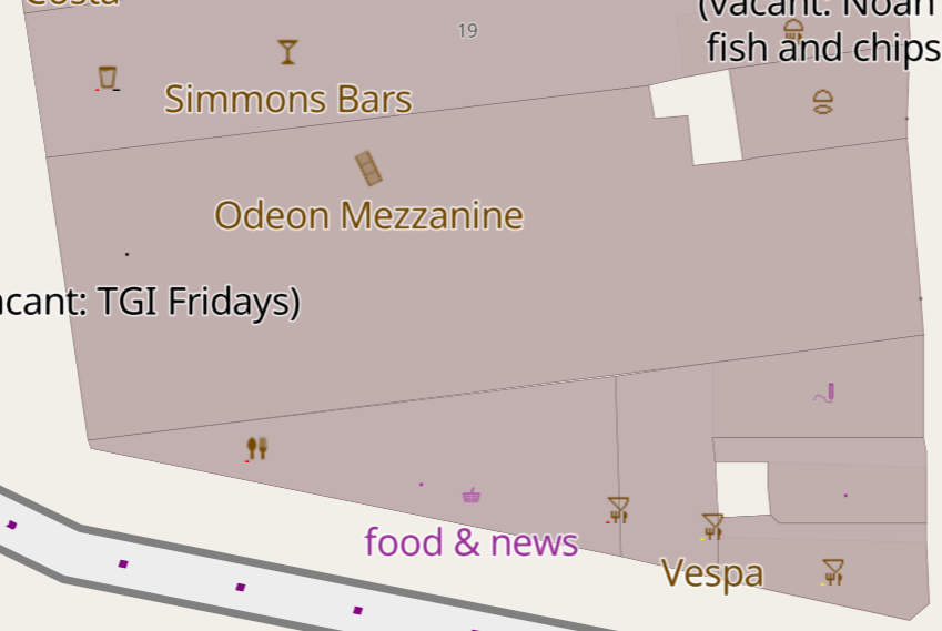
to show different types of restaurants (the most common cuisine types cause the top part of the icon to be modified), just like that map has shown fast food for some time now. However, it’s not technically difficult to also show what wheelchair access is available - this one:
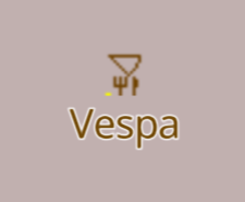
is an Italian restaurant with limited wheelchair access. The yellow flash for that is deliberately small so as to not dominate the view, but visible if you are looking for it.
Shouldn’t showing that information be “table stakes” for maps showing OSM data?
Pogovor