
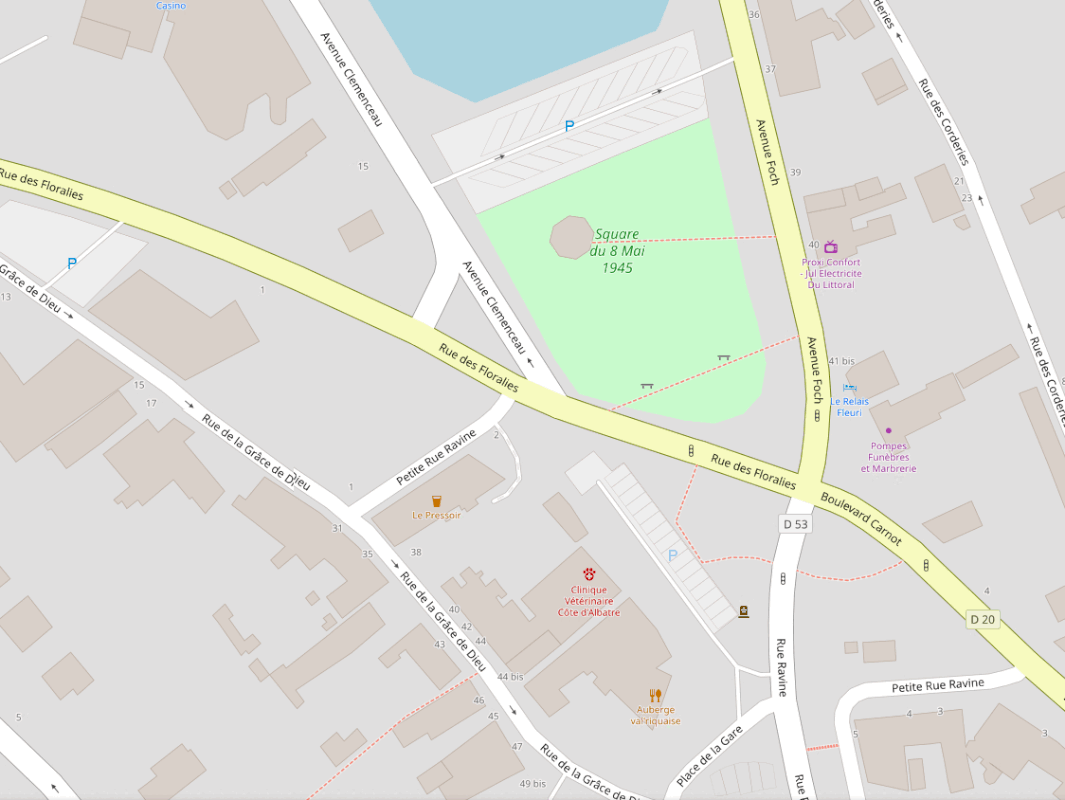
Day 88 : First attempt at micromapping (Saint-Valery-en-Caux)
Апублікавана карыстальнікам TheFighter137 30 Кастрычнік 2024 на мове English Апошняе абнаўленне 1 Лістапад 2024.This is the first time I try micromapping in OSM. It took quite a while to learn the appropriate tags for some amenities, but I got there in the end. For a first, I decided to focus on an open area I know very well, which is a square in my hometown. I didn’t do much in terms of area coverage, but it is still pretty noticeable. By the way, if you want to check if I’ve done my job correctly, please note that less than one year ago, all hedges and trees that surrounded the square were torn down ; no idea why considering it looked awesome, now it is pretty dull and flat.
Here’s what it looks like, and considering how it is rendered, I can’t resist feeling proud :
Абмеркаванне
Каментар ад Hedaja у 9 Лістапад 2024 у 17:49
Great job. Having a before and after in an relatively sparsely mapped area is always so satisfying.