OpenStreetMap logo OpenStreetMap

UrbanRoaming's Diary

Recent diary entries

The Path That Went Viral

Posted by UrbanRoaming on 10 July 2025 in English. Last updated on 13 July 2025.

OpenStreetMap went viral! Well, sort of.

Screenshot of video described below

A recent Instagram video highlighted an area where Pokémon Go had better trail coverage than Google Maps. You can see for yourself:

Original Instagram Post

OSM Town Mastodon Mirror

Currently, the video has over 12.6 million views and 733 thousand likes!

As you probably know, Pokémon Go uses OSM for its map data. So it’s cool seeing it acknowledged that OSM data performed better, even if it was misguided as a compliment towards Pokémon Go/Niantic.

With a little bit of searching, I found the path that they were on: Way #518694188. Added 8 years ago by BikeRoad.

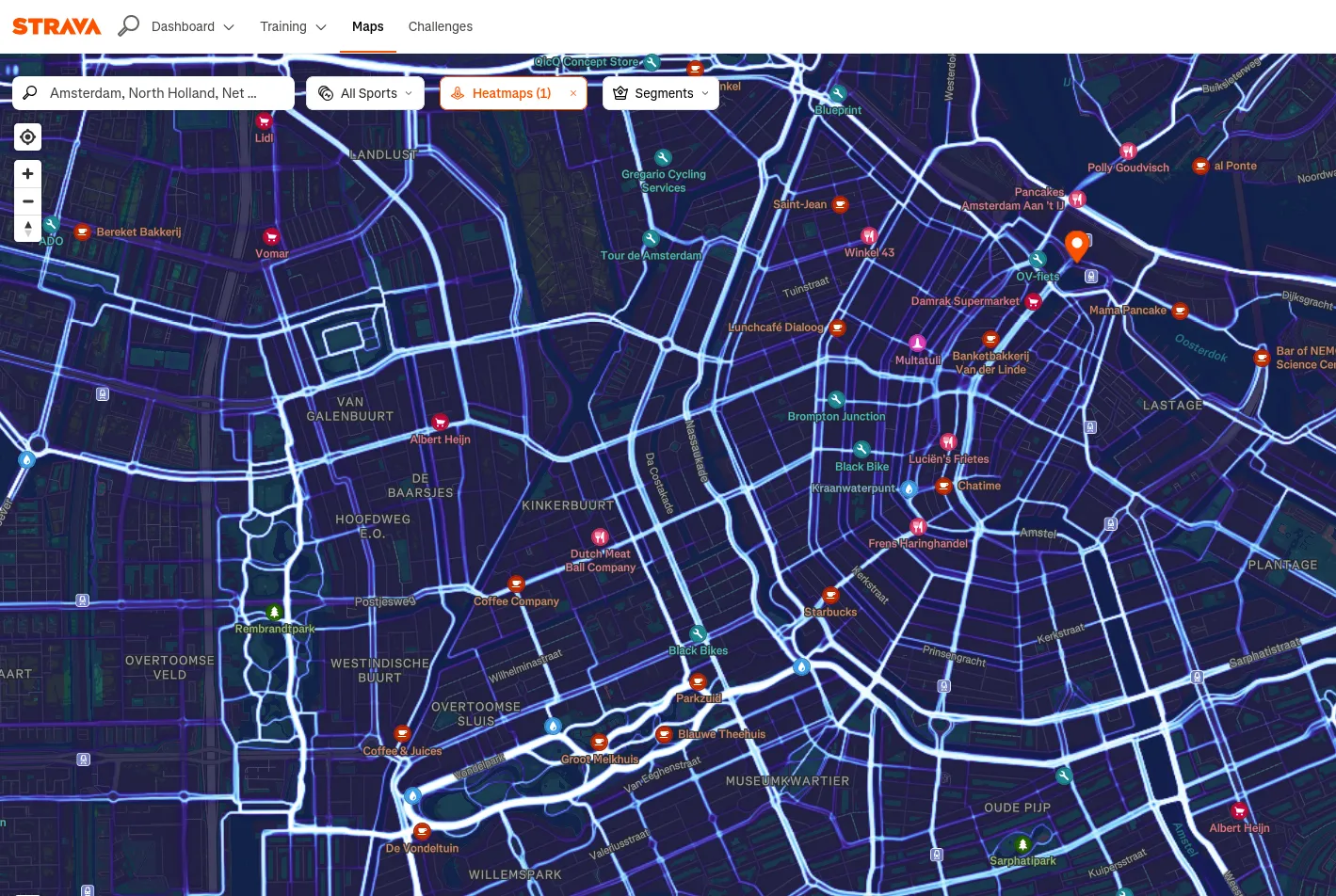
Strava Workouts Make OpenStreetMap Stronger

Posted by UrbanRoaming on 19 June 2025 in English. Last updated on 20 June 2025.

This blog was originally posted on my personal site:

Prograham.net - Strava Workouts Make OpenStreetMap Stronger

I’m not much of an armchair mapper. Partly because ground surveying with Everydoor and StreetComplete is what got me started mapping in OSM. But I think it’s also because I hate having to decipher blurry aerial imagery. I still do it from time to time, but ever since I discovered how to use the Strava heatmap, I’m hooked.

To hopefully sell others on the dataset and walk you through some ways I’ve found it helpful, I’ve collected some examples below of ways you can use the Strava heatmap data.

Context

For those of you who don’t know, Strava is used around the world to record all kinds of workouts. Strava has moved to using OSM data in their apps and to give back they’ve allowed use of their GPS traces as a source when contributing to OSM!

Strava heatmap webpage

To get it set up you can reference the OSM wikipage for Strava.

Usecase 1: Misaligned Paths

See full entry