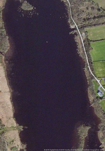
Scanerial is a great josm plugin to automatically trace lakes and other faetures from imagery. But unless tweaked carefully, it can output an horrible mess:

Scanerial is a great josm plugin to automatically trace lakes and other faetures from imagery. But unless tweaked carefully, it can output an horrible mess:

I’ve been a user and contributor for almost 4 years now. I found out about OSM after my honeymoon : I had bought a trekking GPS for it but was disgusted at the price of proprietary maps for it.
I quickly caught the mapping bug, spending full days on the bike (no highres imagery available at the time) mapping neighbourhoods to finish my hometown’s road network. I’m a loose “completionist”, trying to be methodical in my contributions.
Potlach was too slow on my computer at the time, Mercator lacked manpower, so I switched to JOSM pretty quickly. I bought an Android tablet last year, so began using Vespucci too.
I don’t have as much time as I used to have, so I switched mostly to armchair mapping and incidental surveying. I still stick to areas I know well or plan to visit, the exception being HOT tasks (got involved only recently, with Lesotho and the ebola tasks) and some maproulette-type fixes.
Got progressively more engaged with the community: IRC, help.o.o, the mailling lists, and most recently github (I still have to get any usefull code merged). I’m advocating and evangelising about OSM all the time.
A thousand thank yous to all OSM contributors, big and small, whatever their motivations, level of understanding, country of origin, and amount of bickering :p I am very confident that OSM will continue its impressive growth and will become the de-facto default source of map data, supplanting the big names ever more frequently.
HERE’S TO 10 MORE YEARS !!
Last week I presented some slides on using a Garmin GPS. It is geared towards non-techie hillwalkers, but it has a few pointers to OSM, not the least of which is "how to put an OSM map on your Garmin".
The slides are at http://megarezo.org/~moltonel/Tyndall%20GPS%20course.pdf for anyone interested. I can make the original odp file available on request, and put an explicit PD/CC licence on the file if necessary.
Enjoy.