
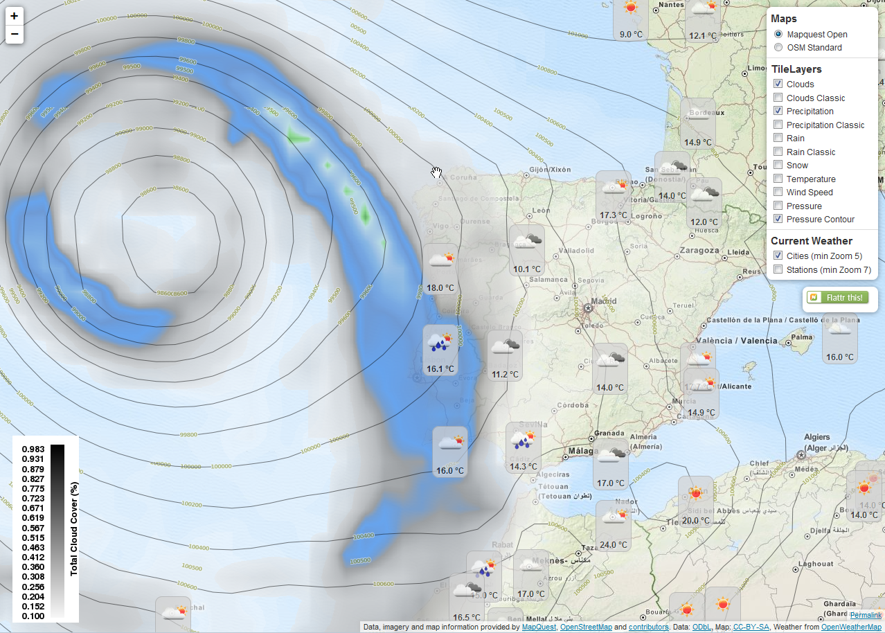
Do you know about OpenWeatherMap? It offers some TileLayers and current city/station data for weather related data. A basic library is available for Leaflet integration.
To get most out of OWM’s possibilities I wrote another javascript library for Leaflet based maps.The library supports OWM’s TileLayers and current city/station data. It is configurable with many options. For current city/station data the library supports refreshing the data in intervalls, some kind of client-side clustering (show only the station/city with the highest rank for a defined pixel square), custom image set (if you provide one), different languages (“en”, “de”, “ru”, “fr”, but translation is incomplete yet), minZoom and others.
Here you go: leaflet-openweathermap on GitHub
Example map using this library: OpenWeatherMap for Leaflet
讨论