
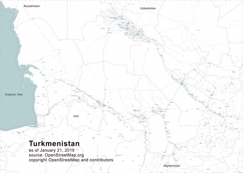
Highway Atlas of Turkmenistan
Posted by apm-wa on 23 January 2019 in English. Last updated on 24 January 2019.Many thanks to the fellow mappers who urged me to delve into Osmosis and use it to extract excerpts from the OSM database so that I could then use Maperitive to generate a wall map of Turkmenistan’s highways. Osmosis is a challenge–the documentation is obtuse, frankly–but I managed to pull some extracts from the OSM database, feed them into Inkscape (another rather challenging piece of software), produce an SVG file that could then be lightly edited to remove unneeded items, and then pump out first a PNG file and then convert it to a JPEG using Corel Photo Paint. The result is a roughly 60” by 81” or so wall map of Turkmenistan’s highway network, from highway=primary to highway=tertiary, plus railroads, cities/towns/villages, and gas stations. I can now send it to a print shop. This was not a trivial task but the result will be quite useful to the motor pool chauffeurs at the U.S. Embassy in Ashgabat, and perhaps to others as well.
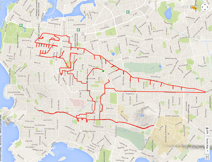 Sorry, I could not resist posting this when it popped up on Facebook. It would never have occurred to me that GPS traces can be used to create art. However….