derFred
- Tham gia:
- 10 Tháng tám, 2010
- Sửa đổi bản đồ cuối cùng:
- 11 Tháng chín, 2025
-
OSM Wiki … OSM Forum … wikimedia commons … github … Transifex … OSM Help … hdyc … preferred mapping area … preferred twitter … preferred blog … preferred wiki page … preferred German blog … Mapswipe … OpenStreetCam … Mastodon … Mastodon … Mastodon
- Mapillary 1
- Mapillary 2
- Kartaview
-
- Comenius School Project 2011-2013
- Comenius School Project 2013-2015
- Erasmus+ School Project 2018-2021

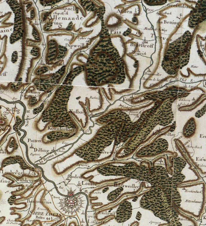
Französische Forscher haben die Cassini-Karte (Daten aus dem 18. Jahrhundert) digitalisiert. Ziel war auch, die Entwicklung von Infrastrukturnetzwerken und die Entwicklung städtischer Systeme zu verstehen. Hier ist die Online-Karte.
Các Mục Nhật ký Gần đây
30DayMapChallenge 2023 - Day 15: OpenStreetMap
Day 15: OpenStreetMap - From A to Z A map of Europe using topological coloring & some expression based stipling around the polygon per...
Zurück zu den Fakten, bitte! - If you need a translation please try: deepl.com
tl;dr - Die Reduzierung von Menschen auf ein einziges Kriterium - und sei es das Geschlecht - ist albern. Deshalb zurück zu den Fakten, bitte! Ei...
100 new mappers to influence the 2018 elections of the board
First of all: - very big THANK YOU to the members of the MWG for this brilliant analysis in obviously painstaking detail - Here are my questions,...