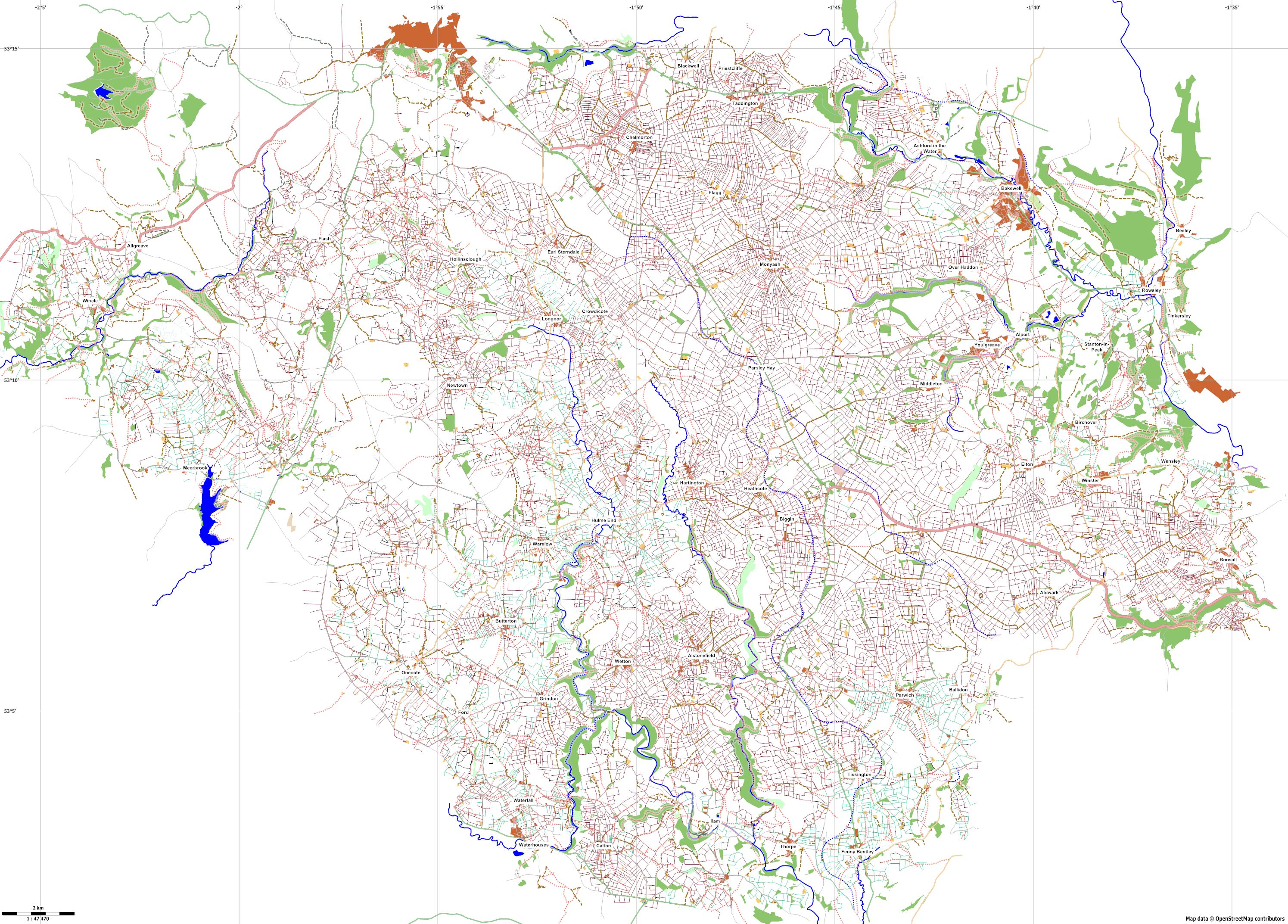
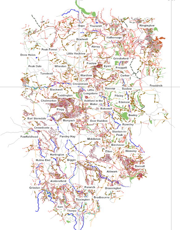
Third Anniversary of Mapping in the Peak District National Park
Zapsal dudone 22. 2. 2015 v jazyce English.Yesterday marked three years from my first OSM changeset. Not long after starting mapping I set myself the objective of adding enough data to be able to make a good walking map of the Southern part of the Peak District National Park in three years. The main objectives were to survey and add all the remaining public rights of way (PROW) (footpaths & bridleways) and also to add all the field boundaries. When I started there was reasonable PROW coverage in some areas and virtually no field boundaries.
To put this objective into perspective there are, according to the National Park figures, 3510 PROWs in the park covering 1867 miless and 5440 mile of dry stone walls within the park. There are also good number of fences and hedges so the lenght of field boundaries to be mapped is probably half as much again.
I’m afraid to say I have failed to achieve the objectives in the three years I set myself.