Is There Any news about Satellite Imagery ?
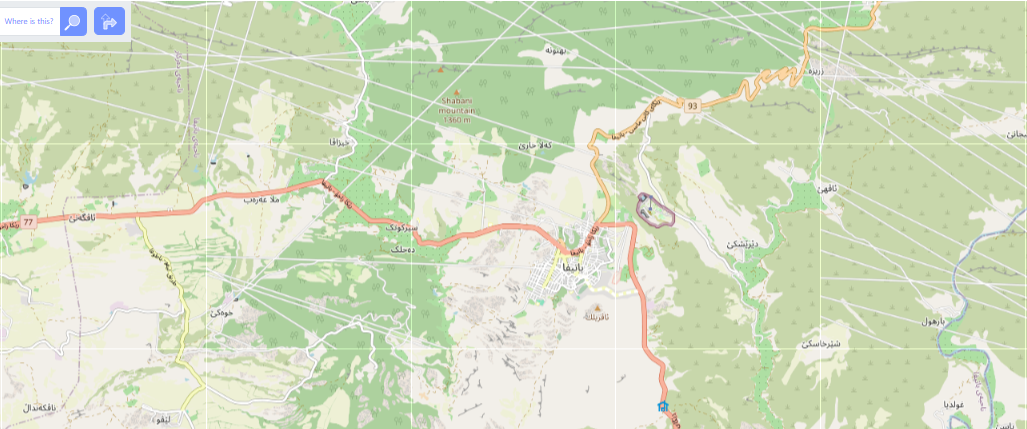
Опубліковано учасником farhadGuli 1 Липня 2025, мова: EnglishDear OSM Community and Team, Is there any possibility of accessing a newer imagery layer, such as Maxar? The current Bing Maps Aerial imagery appears to be significantly outdated, which makes it challenging to accurately update or edit map content.