
farhadGuli
- Mapuje od:
- 09. Marec 2014
- Posledná úprava mapy:
- 03. September 2025
As an enthusiastic mapper on OpenStreetMap, I am dedicated to helping people find locations and navigate safely on the roads. My goal is to make it easier for everyone to discover places and travel with confidence. By contributing accurate and detailed information, I aim to improve the way we explore the world, ensuring that everyone can benefit from reliable maps and safe routes. Let’s make navigation simpler and Discovering world easier .
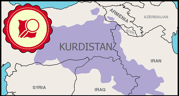
Mapper from Kurdistan, Iraq
Najnovšie denníky
Is There Any news about Satellite Imagery ?
Dear OSM Community and Team, Is there any possibility of accessing a newer imagery layer, such as Maxar? The current Bing Maps Aerial imagery appea...
unstable lines when zooming map
its been 4 days i see this lines like exploded roads … when zooming map location , i tried showing amusement park when editing , it also showed exp...
Facebook has been using OpenStreetMap data [Glad to hear that]
Usage of OSM Data Facebook has been using OpenStreetMap data in its maps around the world since Spring 2018, as announced at State of the Map 2018...
Update NEW map imagery [necessary]
OSM needs a new version of layers ,new imagery satellite layers , I found HERE map satellite its really a new map imagery that we can use full edit...