UN Habitat Brod/Dragash/Kosovo survey coming online
Posted by h4ck3rm1k3 on 2 April 2010 in English.We have the first data from the Brod Survey online.
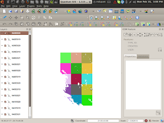
They have hired a GIS/QGis expert who is leading the mapping there. If this goes well, there might be more jobs and work for OSM and OSGEO people in the future.
This project is using F/LOSS GIS Software and OSM for doing urban planning in Kosovo. The team went there for the first survey last weekend.
We have alot of data now online, and want to create maps for them.
Here is a nice shot of the wonderful nature in the mountains of Kosovo:

Here is how I made the exif tags for the photos:
http://osmopenlayers.blogspot.com/2010/04/how-to-create-osm-file-with-gpx-and-jps.html
Here is how I merged the tracks :
http://osmopenlayers.blogspot.com/2010/04/convert-like-this-produce-list-of-files.html
Tracks:
osm.org/user/h4ck3rm1k3/traces/659428
I have created osm files and kml files from the photos,
http://xhema.flossk.org:8080/mapdata/03/brod/total.osm
http://xhema.flossk.org:8080/mapdata/03/brod/total.kml
