Mapping Sydney Billboards: Every QMS advertising panel in Sydney
Publicado por jakecopp el 31 octubre 2022 en English.I wrote a blog post about the new advertising panels being installed in the Sydney CBD, and created a map which imports the OSM data using Overpass Turbo.
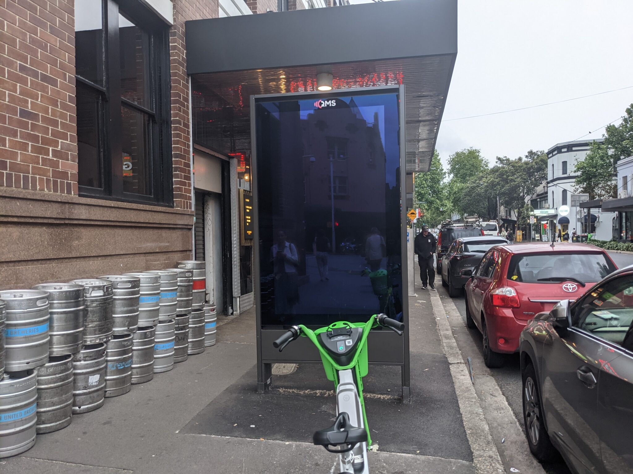
Through August and October I visited every QMS advertising panel. I surveyed their location and ref code to add to OpenStreetMap. I uploaded photos of many displays to Mapillary, which you can view by clicking on pins in the map.
Let me know what you think! Any feedback on improving the tagging is also appreciated.
Discusión
Comentario de Richard el 31 de octubre de 2022 a las 19:39
Wow, that’s horrible! (the billboards, not the tagging)
Similar issues with them in Manchester, UK: https://www.theguardian.com/uk-news/2022/jan/09/electronic-advertising-boards-manchester-energy-use-consumption