Ski Nav – making a routing app
Air a phostadh le jancellor 13 An t-Samhain 2019 sa chànan English Last updated on 14 An t-Samhain 2019.Earlier this year I started looking into the mapping options available for skiers. On previous ski trips, I hadn’t discovered a satisfactory way of even just viewing a simple map, and it seemed that an interactive map with the ability to route over lifts and pistes ought to be possible.
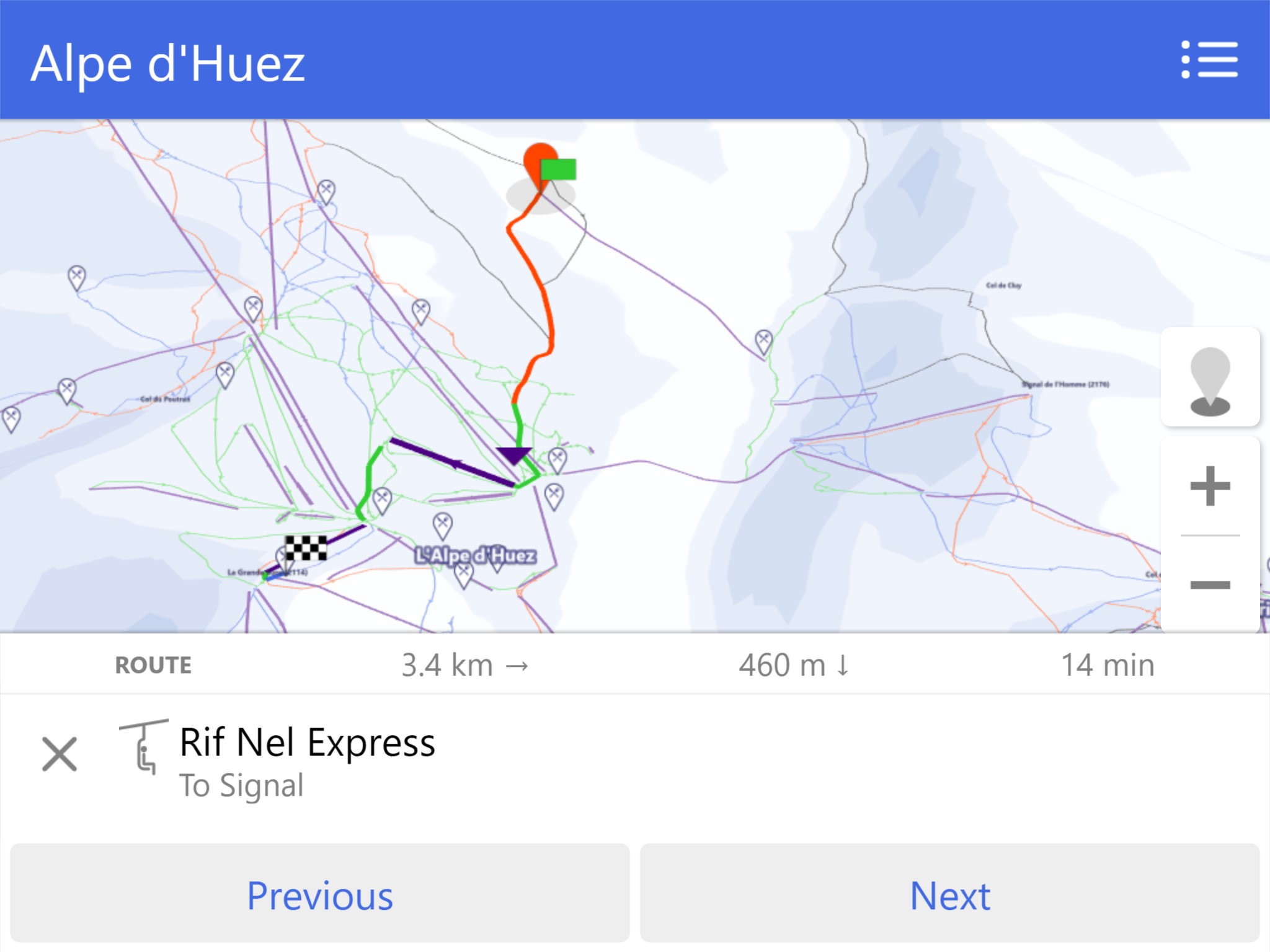
I ended up combining OSM piste data and NASA SRTM elevation data to create a 3D view of ski resorts from the same angled view as the official paper maps. Each resort has it’s own discrete map with a bounded view, which feels more appropriate than a typical map which can pan indefinitely. The result is the app Ski Nav.
The coverage of data for ski resorts (piste:type=downhill and aerialway=chair_lift etc) is generally very good. Nonetheless, for routing it is still essential that the app intelligently processes this data to create artificial connections and “fill in the gaps”. Maps typically do not have explicit connection at a “hub”, a small area where many lifts and pistes terminate.