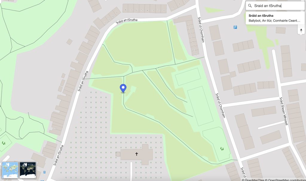
OpenStreetMap Ireland identified a need for a map of Ireland showing place names in the Irish language (Gaeilge) and to encourage more Irish language additions to OpenStreetMap (OSM). Some other mapping services show only town names in Irish when Irish is set as the preferred language in the web browser; however we wanted a map that would ‘by default’ show towns, streets and other places using the Irish place name.
We named this service ‘léarscáil’ which translates to English as ‘map’. The service is available at learscail.openstreetmap.ie
 Any streets that do not have a tag for
 name:ga within OpenStreetMap are left blank on léarscáil – this is by-design – to encourage everyone to fill-in-the-blanks. We use official street name signs as the source for the translations.
Technical
We made use of several open technologies to solve the problem including: